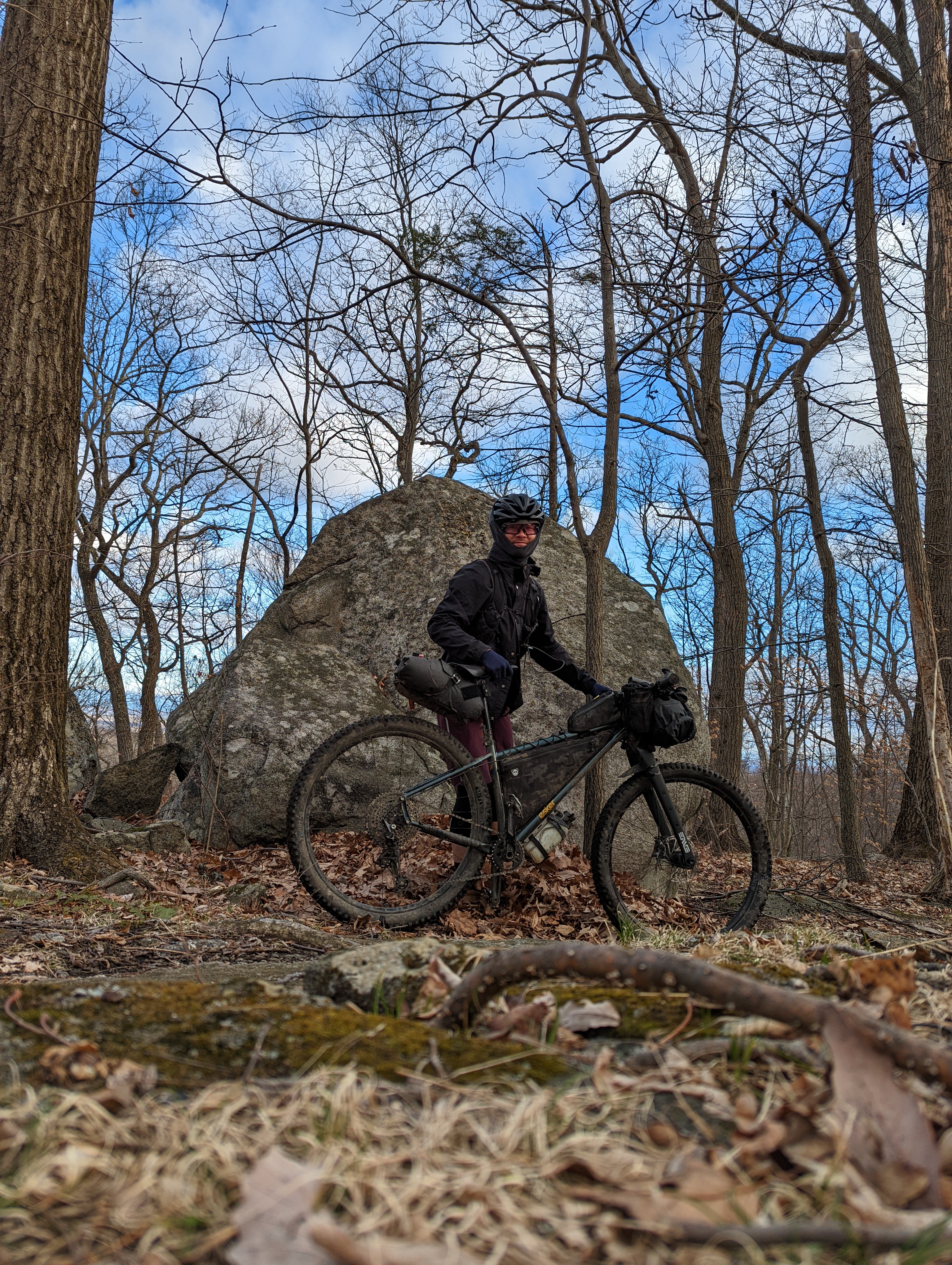
West of the 87
︎ 61.6mi (99km)
︎ 5551’ (1692m)
︎ 5551’ (1692m)
︎ 47% unpaved
︎ 36% singletrack
︎ 36% singletrack
︎ 8/10 difficulty

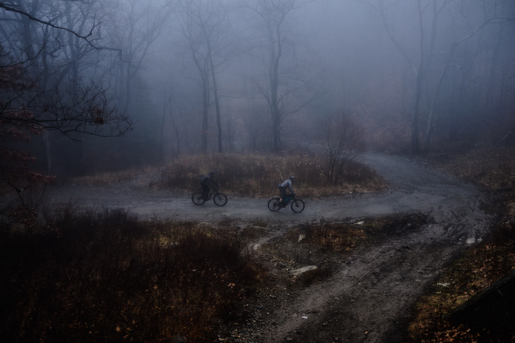
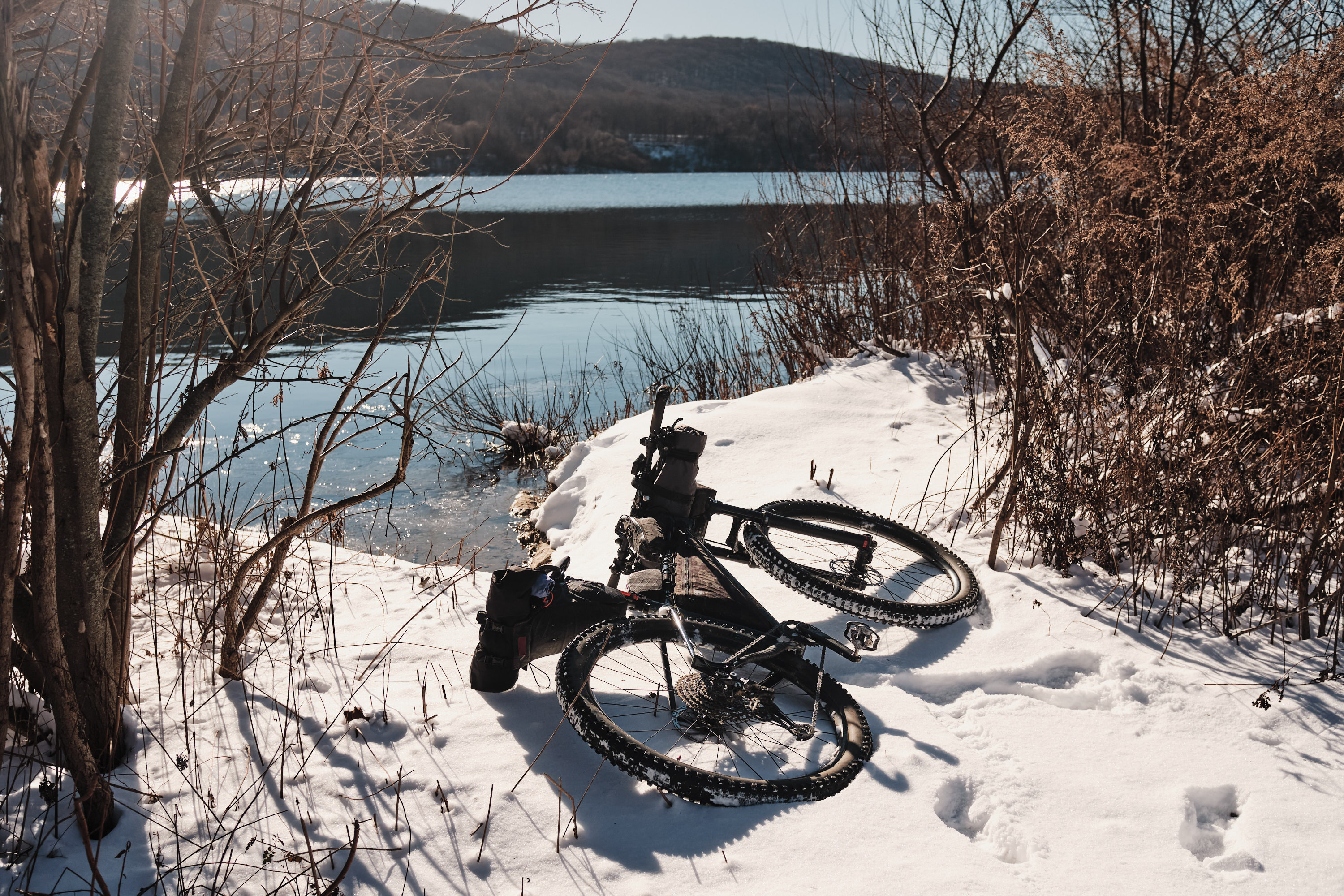
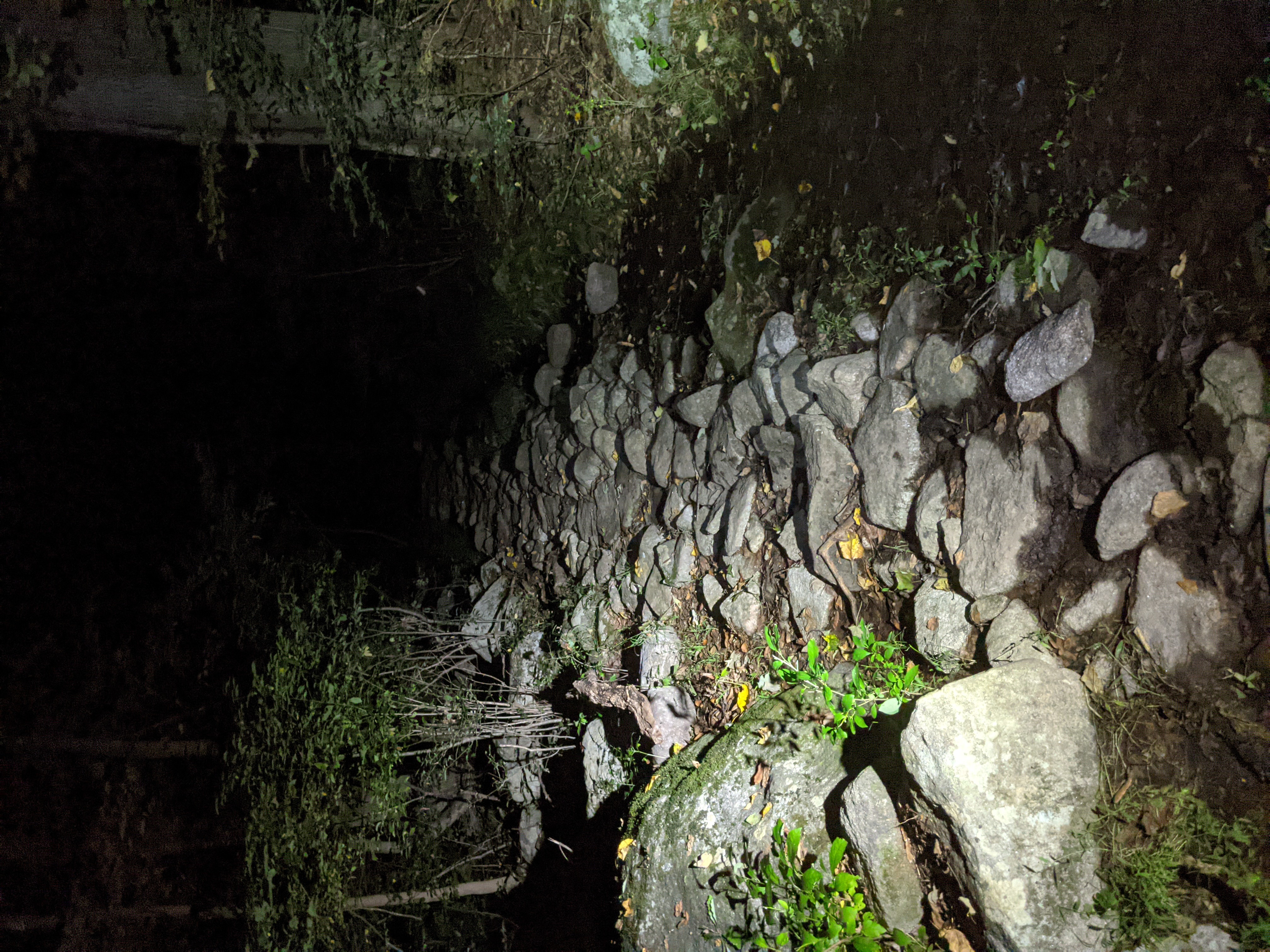
Cupsaw Brook Trail, Ringwood, in November
Trail Systems
- High Mountain
- Ramapo
- Ringwood
- Sterling
- Harriman
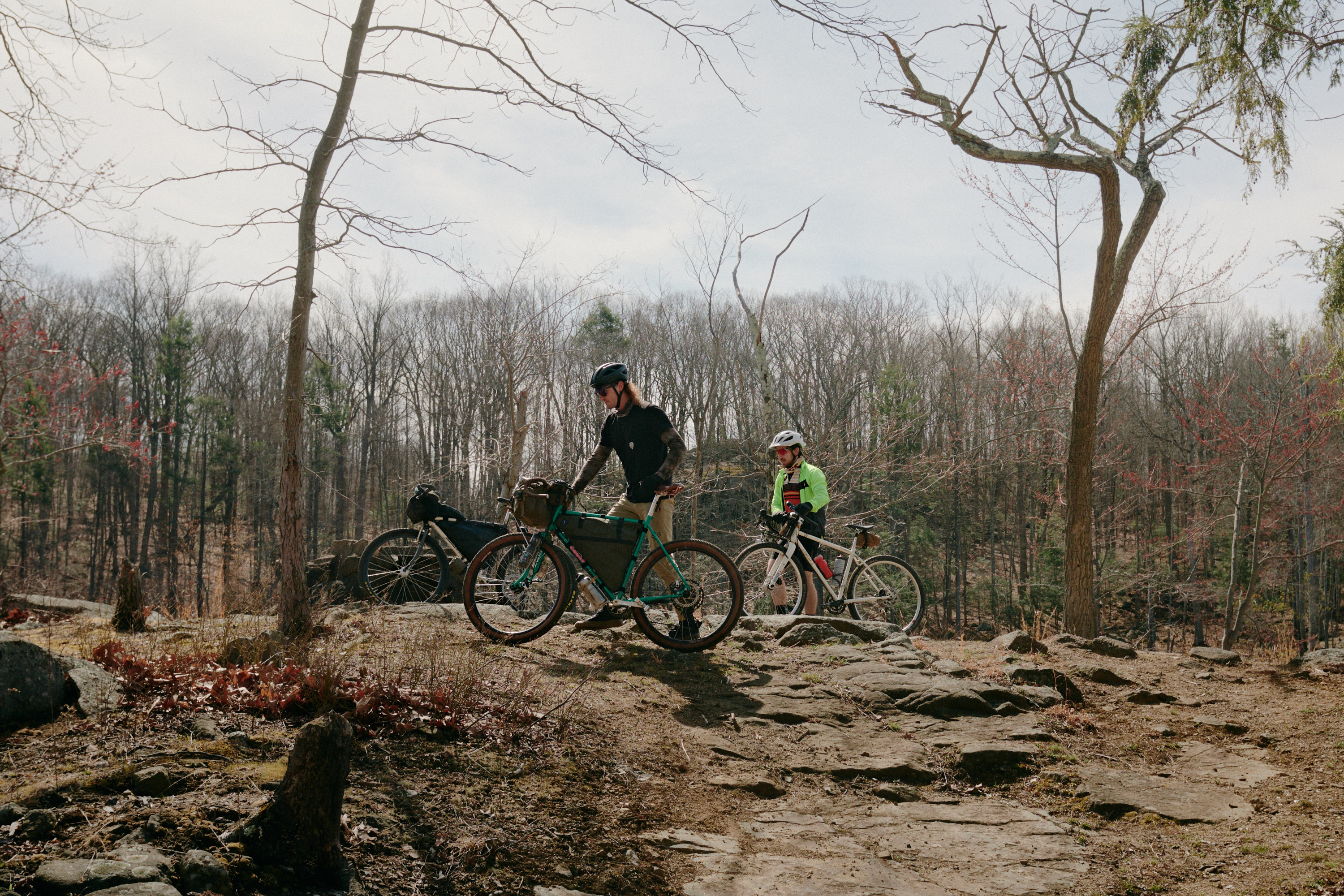
The one that put me down this rabbit hole and started it all. Perhaps the perfect one-day distillation of what to expect of SRHT routes!
The route begins once you alight from the Glen Rock train station and takes you through various trail systems, each getting better flow until you reach Sterling and descend its Hutchinson trail where your elation will override any fatigue you’ve built up by then. Take note of all the lakes and public beaches - come summertime, you might love all those opportunities to take a dip.
There are photos of rigid bikes and drop bars on this page from early scouting trips but the suggested tire size is 2.1”+. You’ll mostly likely want a hardtail. There will be a few sections where you’ll be rock crawling up and down dry creekbeds but the route is well-travelled enough to be able to spot clean lines. While a bit techy at times, it’s possible to ride this entire route without dismounting. Keep in mind where all the potential resupply points are or come prepared with plenty of snacks - there aren’t that many stores directly on the route and you may need to hop off of it. That said, the shopping plaza in Erskine is a great spot for lunch. Leading up to that is a fast road descent that may have some people white-knuckling. Avoid the rumble strips on the shoulder and take over the lane.
For those wanting to race this route, we’ll be holding a race in late Sept, 2025.


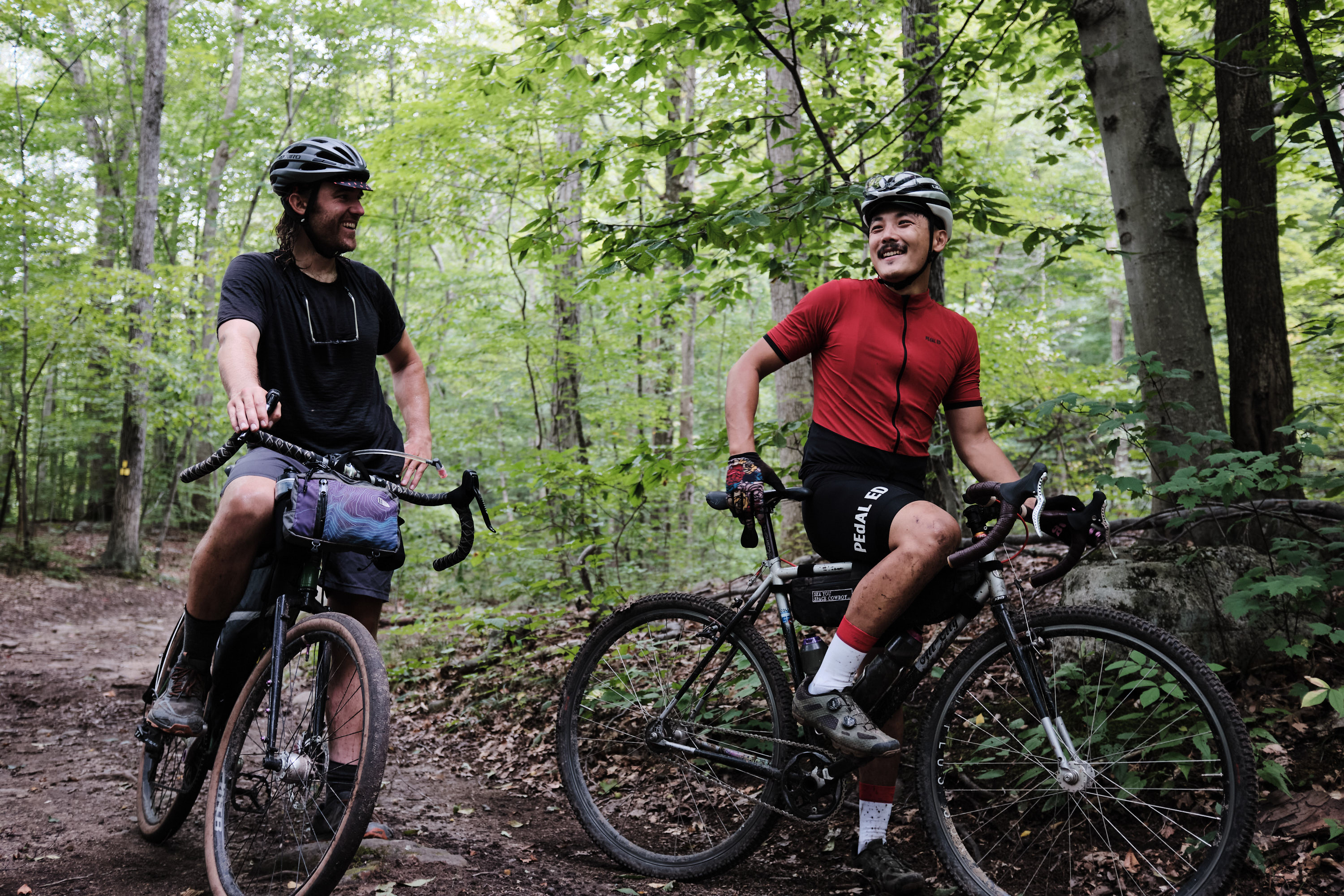


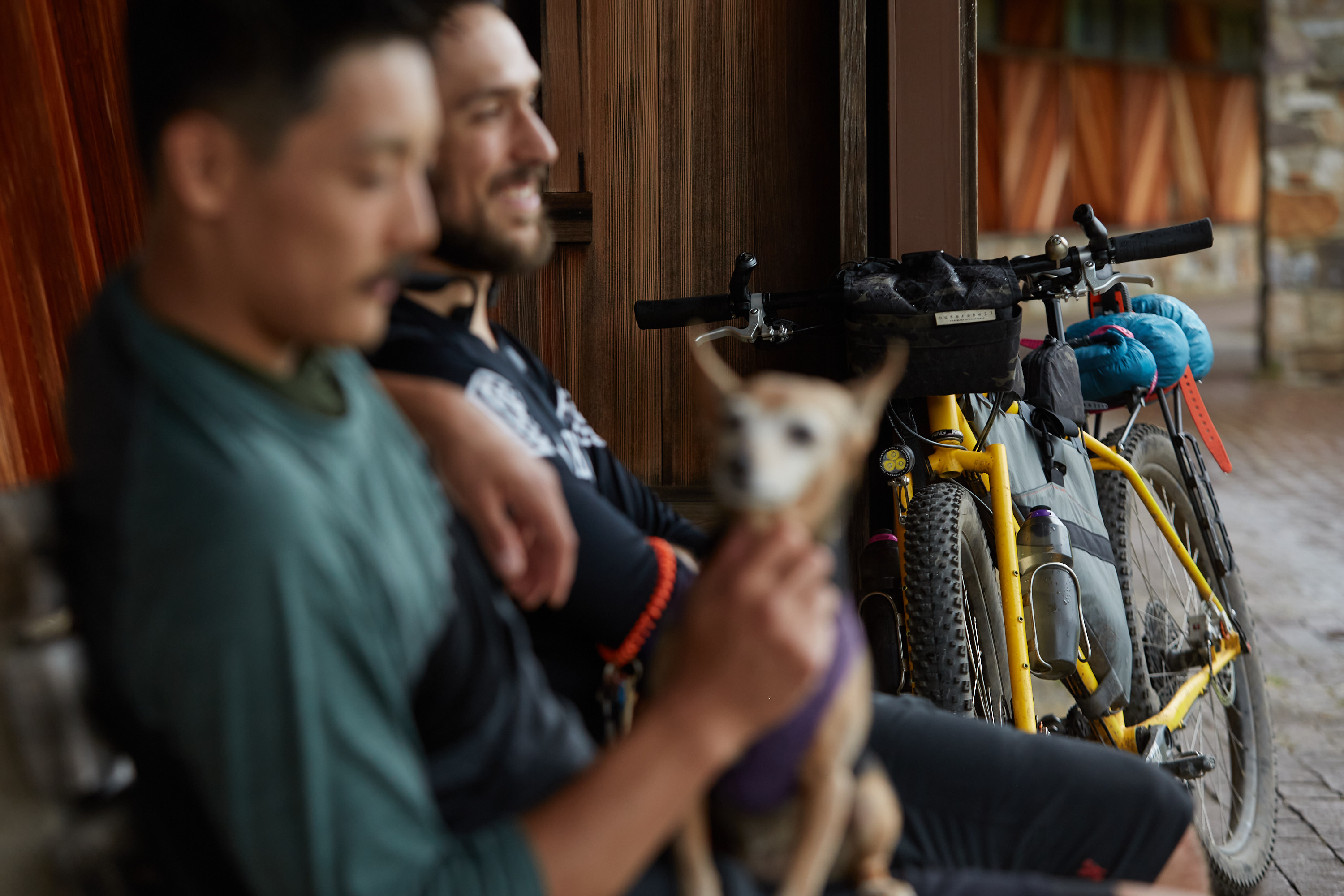
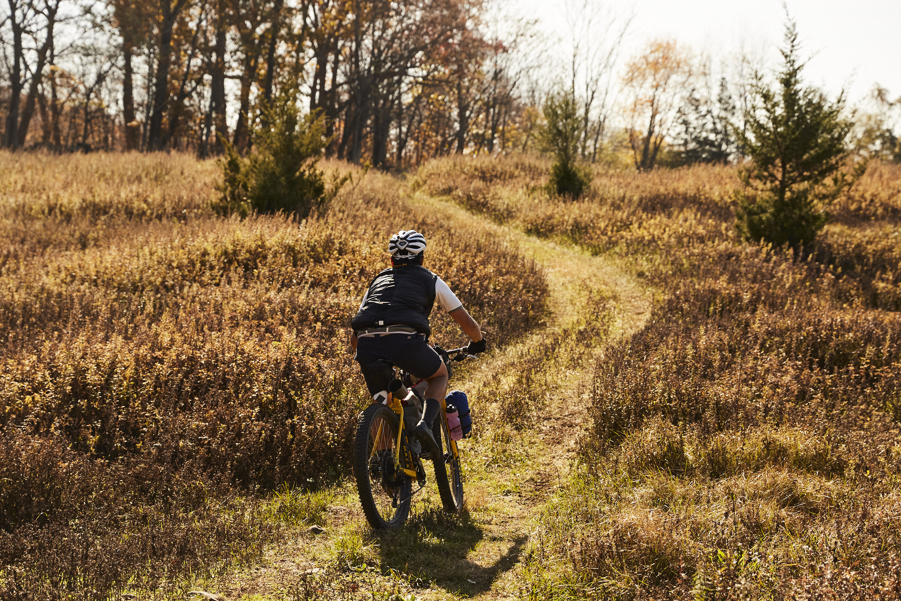


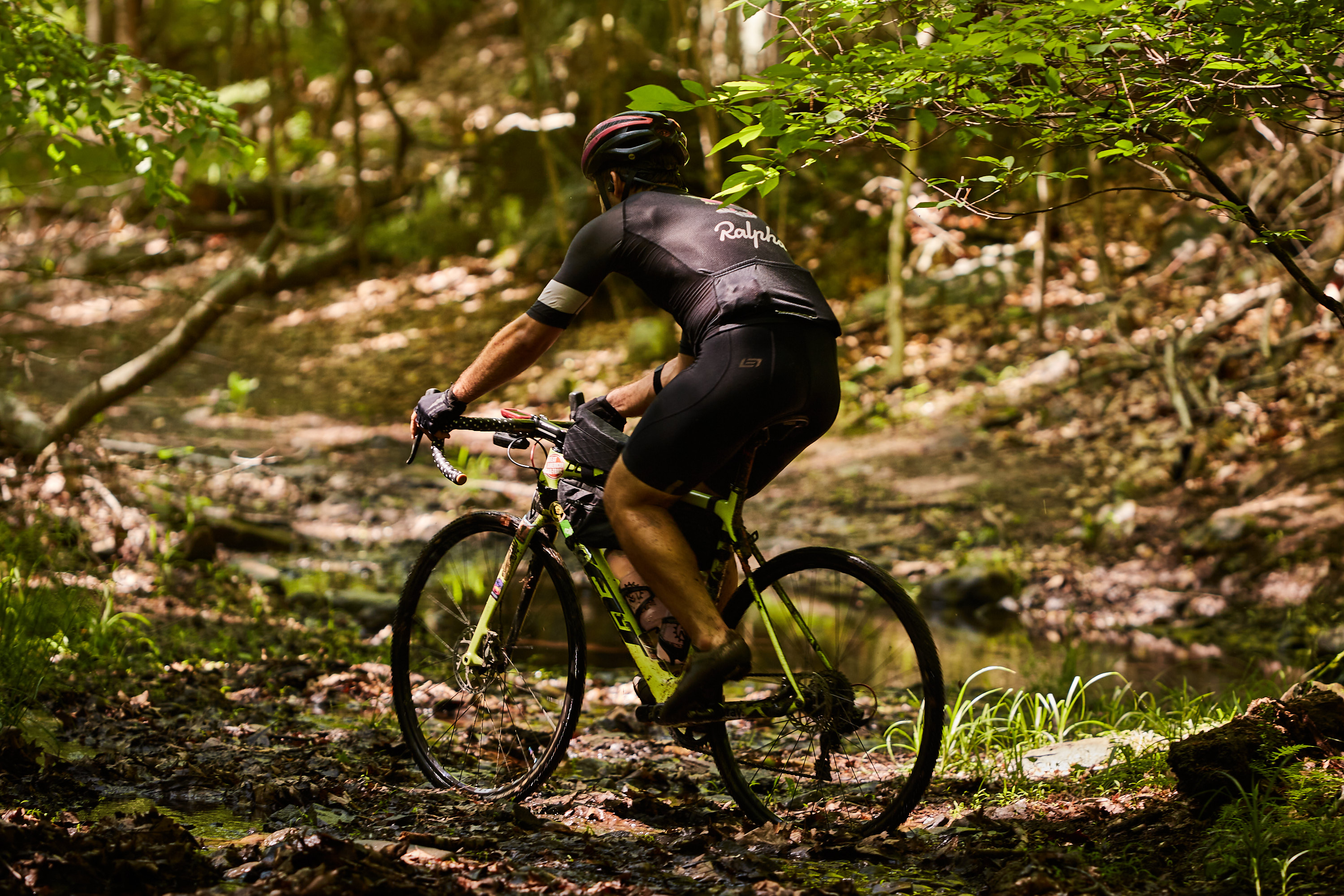


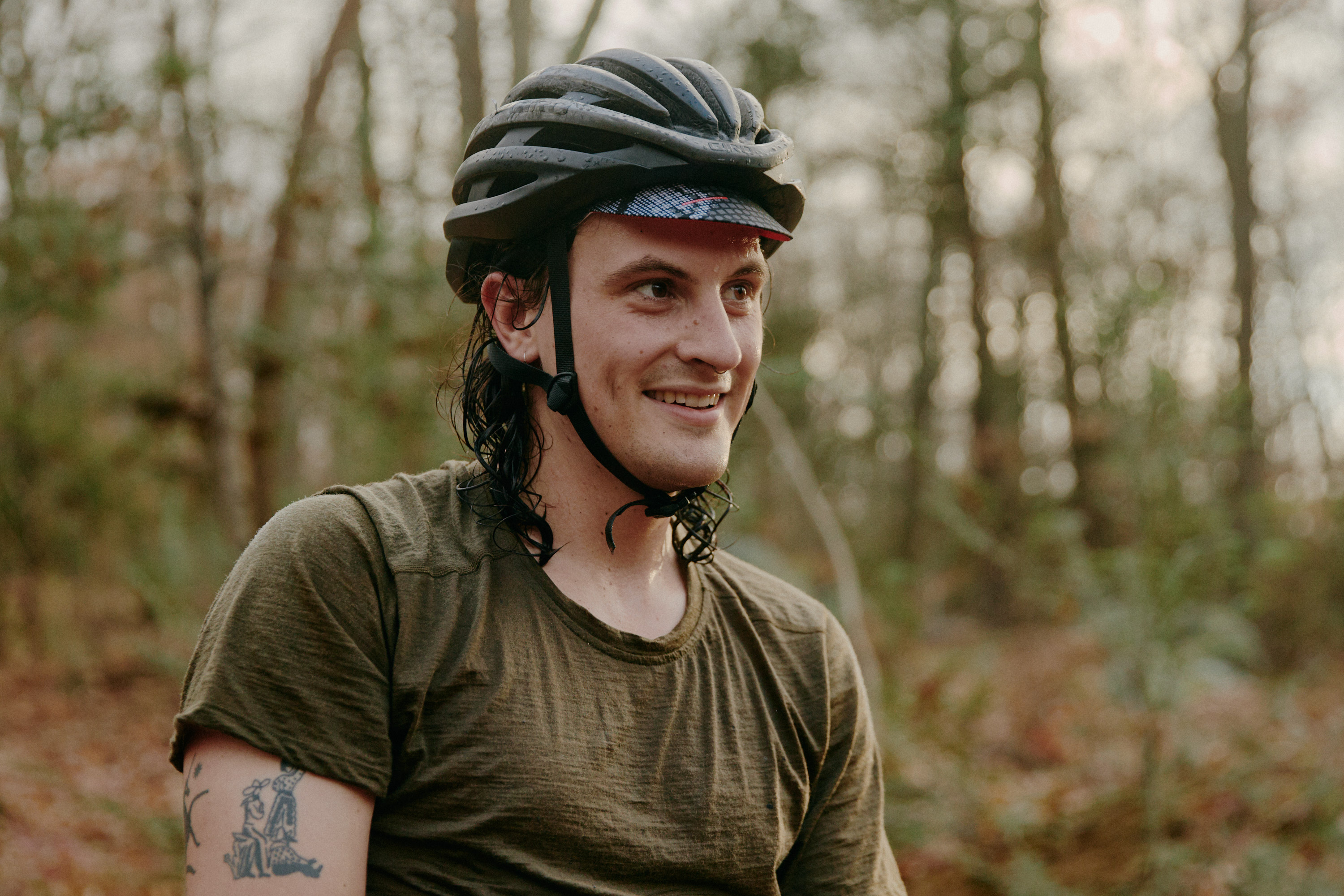

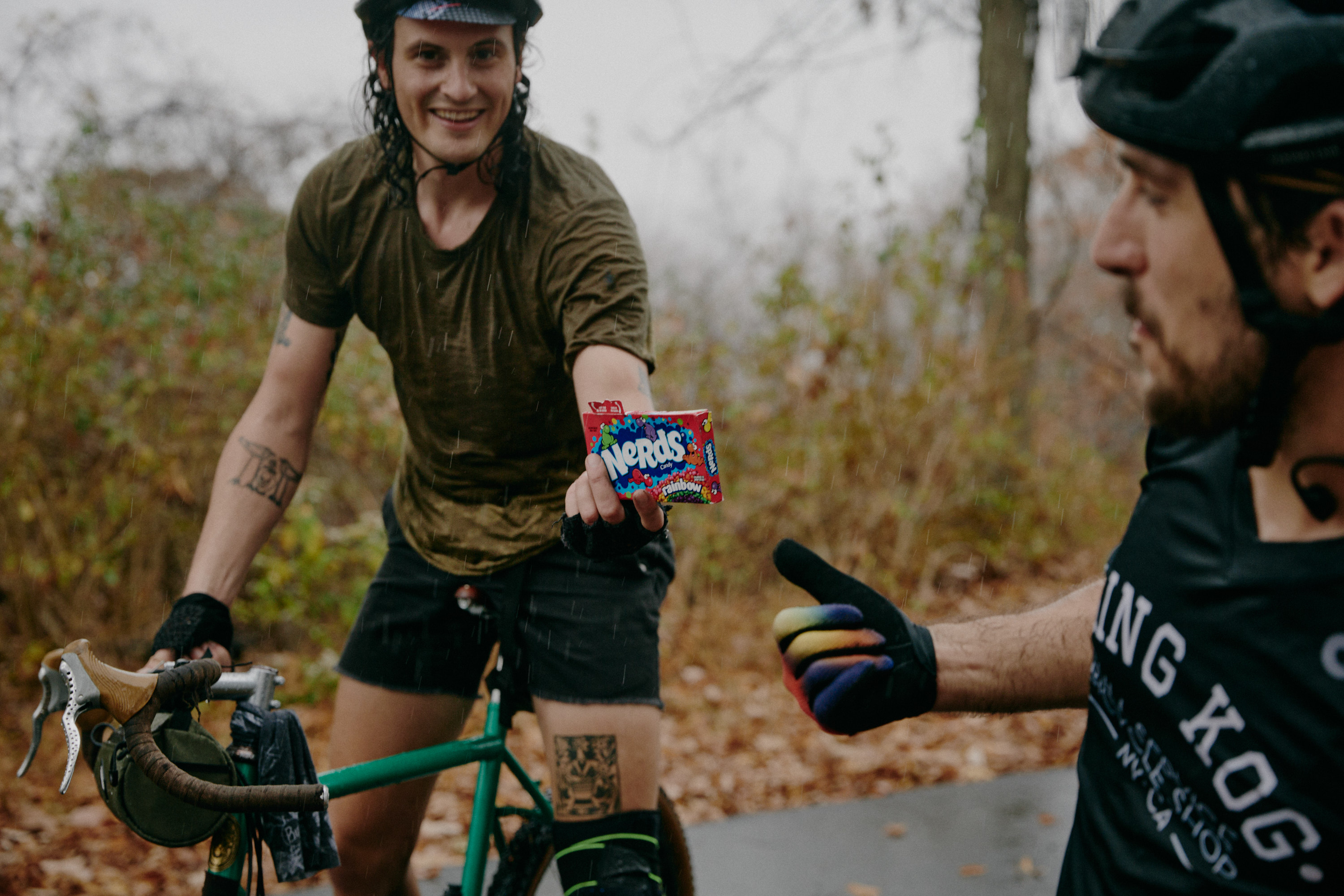


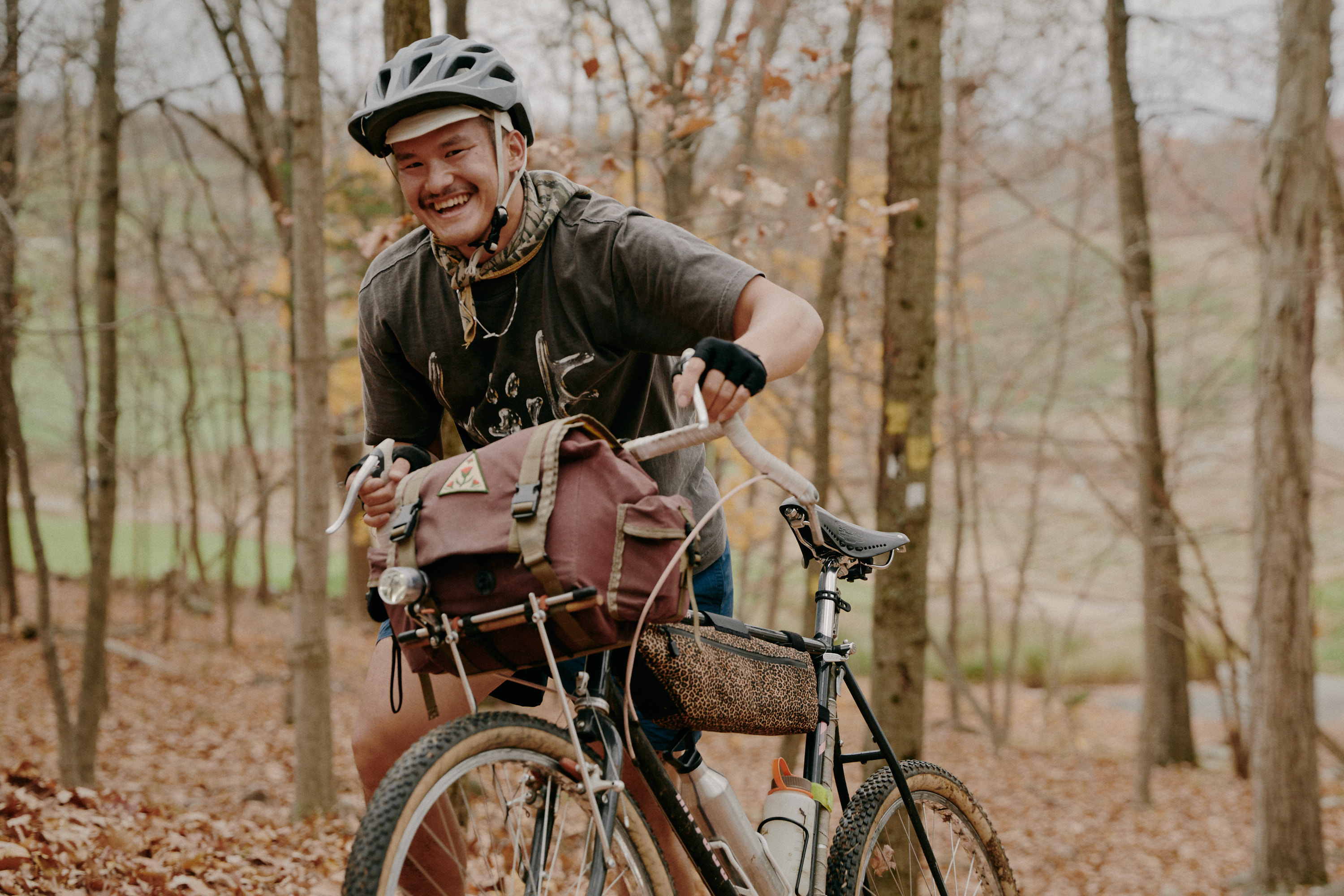


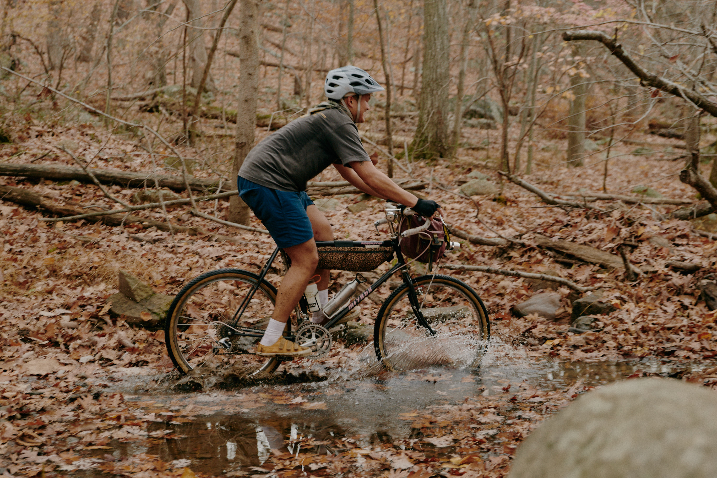
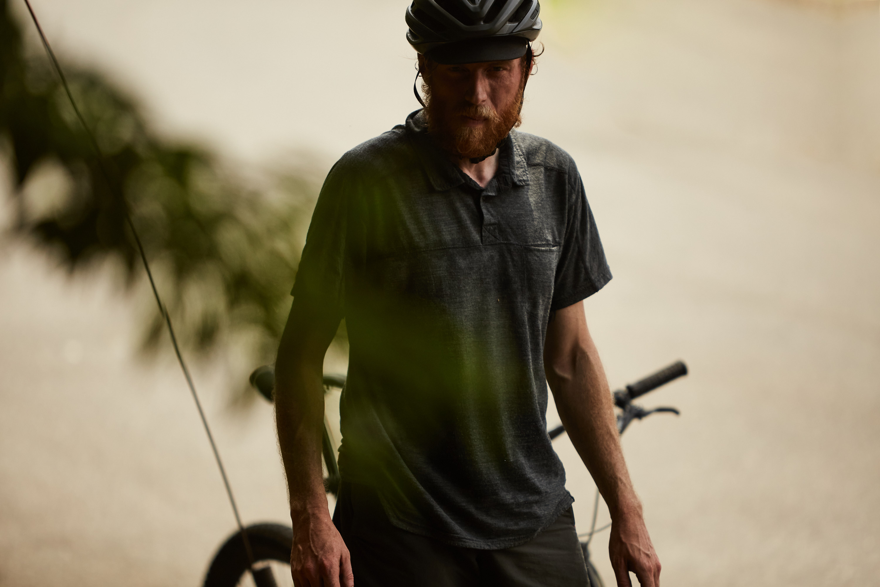

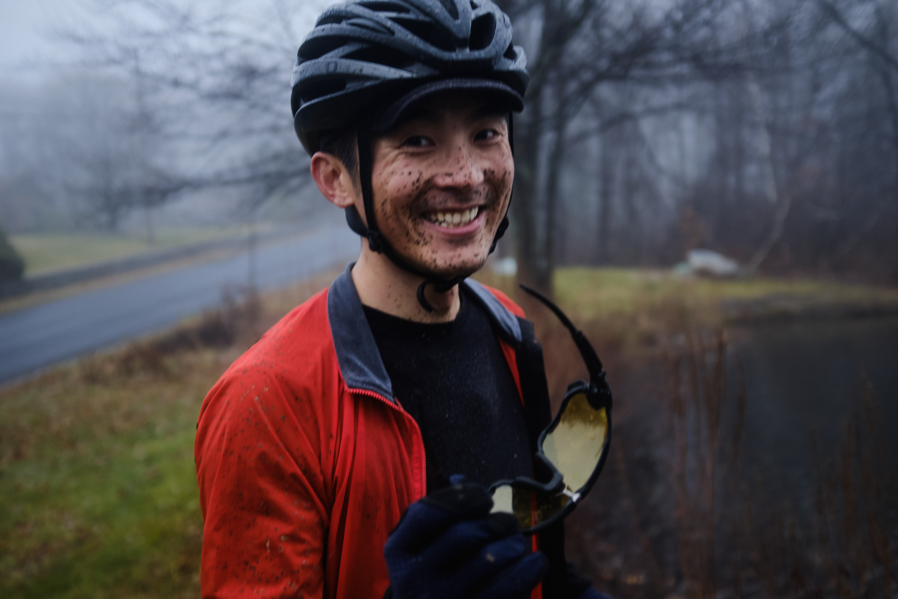
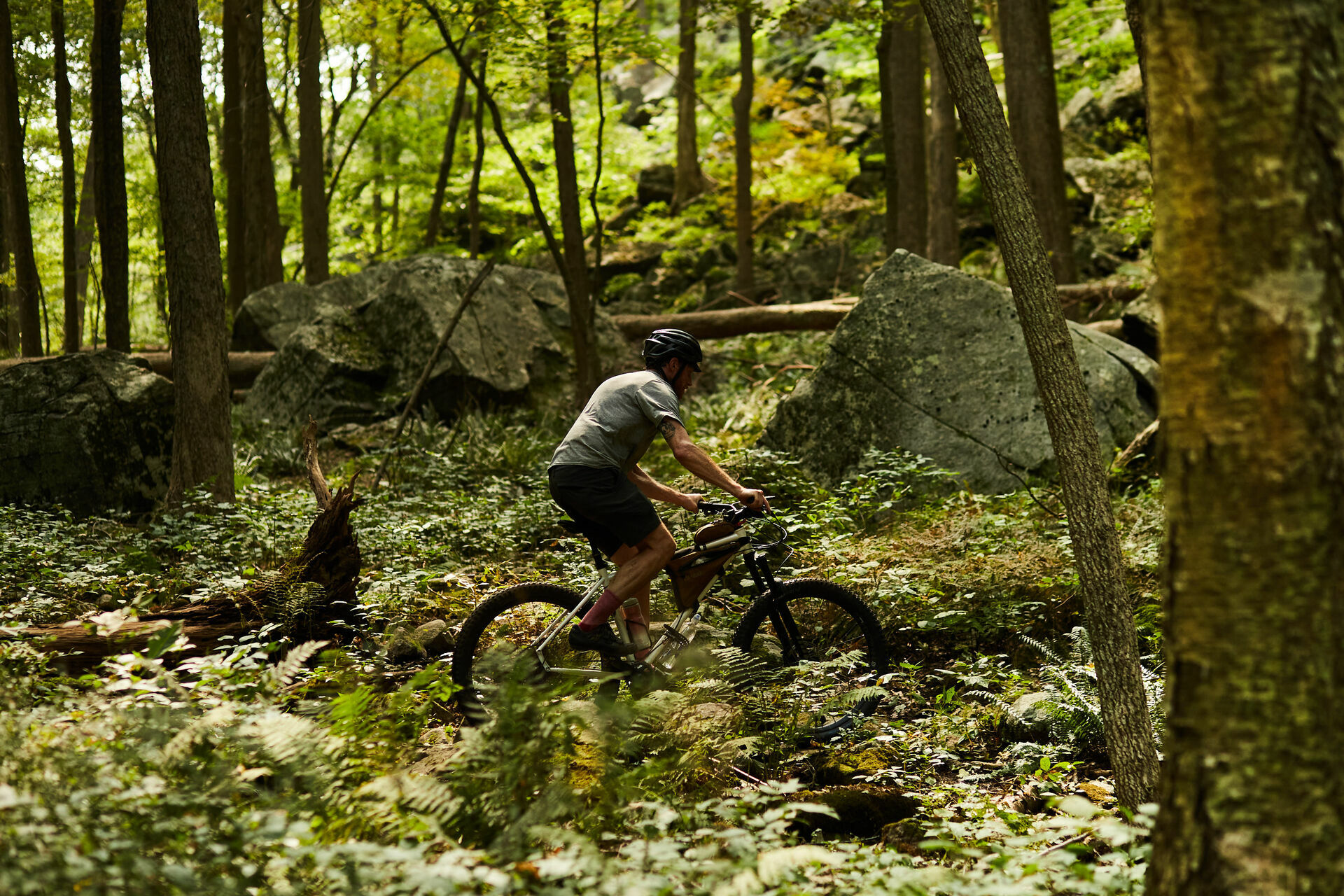
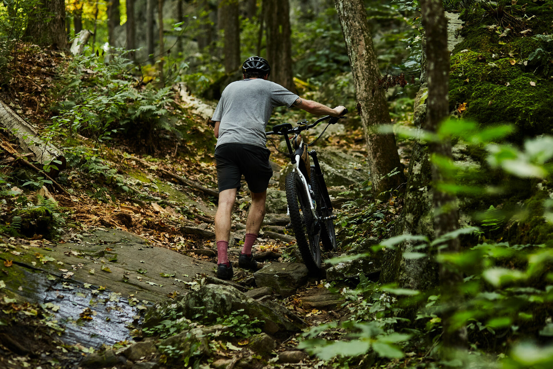
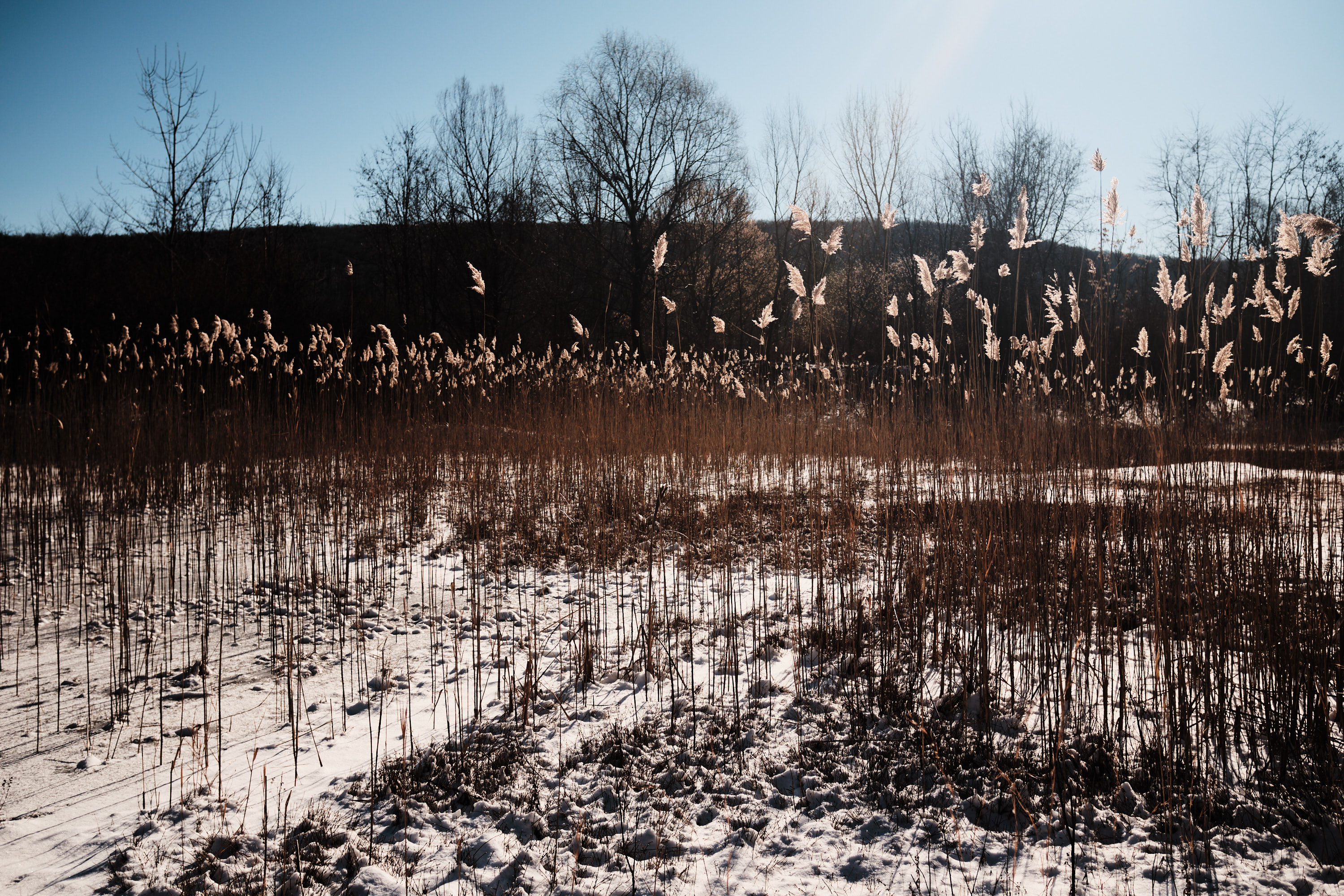
Scenes from the trail
Camping options
It is best to reserve ahead of time if considering camping.
-
Beaver Pond campground
-
Camp Glen Gray
- Lake Tiorati (group)
It is best to reserve ahead of time if considering camping.
Transit options
- Glen Rock
- Suffern
- Tarrytown
Cold Spring Clover
︎ 65.3mi (105km)
︎ 7662’ (2335m)
︎ 7662’ (2335m)
︎ 60% unpaved
︎ 30% singletrack
︎ 30% singletrack
︎ 8/10 difficulty

View of the Hudson from the North Beacon vista, August.
Trail Systems
- Hudson Highlands
- Clarence Fahnestock
- Cold Spring gravel
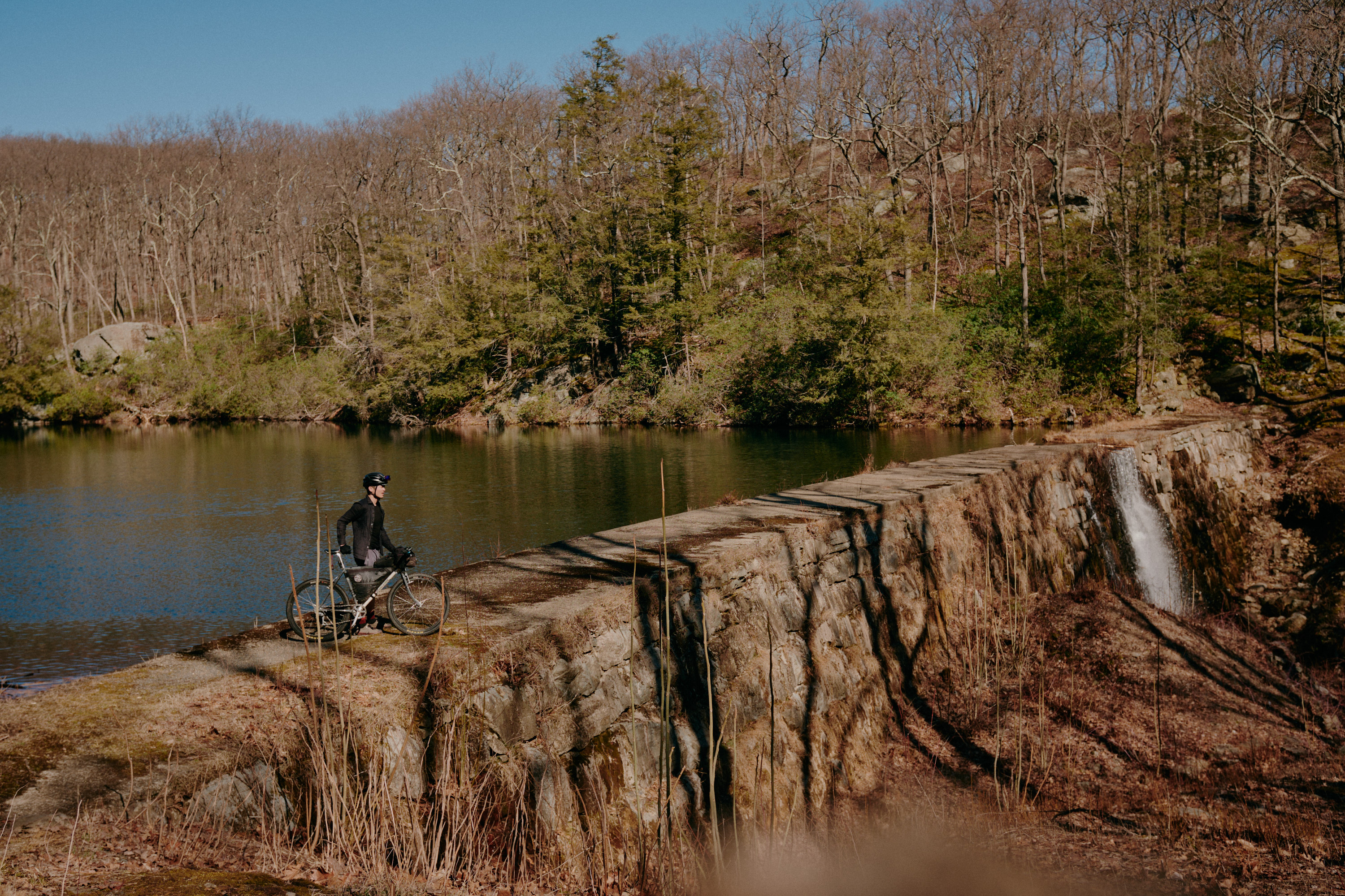
Nowhere else in the area can you find a sustained 1300’ gravel climb with such a spectacular view of the Hudson River - this ride will certainly start off with a lung-busting bang. Start your day off with a jolt of caffeine from one of the numerous cute cafes in Beacon (my favorite is Big Mouth Coffee). The “stem” of this route could be skipped if you choose to forgo the climb in favor of keeping it purely comprised of Fahnestock trails and classic Cold Spring gravel roads. Bring plenty of snacks - there’s not much along the way after leaving Cold Spring.
This route will take you through all three of the primitive bike corridors of Fahnestock: Schoolhouse, Roaring Brook, and Moneyhole. At times, they may feel like a hiking trail. Long Hill and Miller Hill are two significant paved climbs (the steepest section can hit 19%!) that follow in quick succession after descending out of Schoolhouse.
There are a few water spigots listed on the route but they may be turned off seasonally. Bring enough water or bring a filter as a backup.


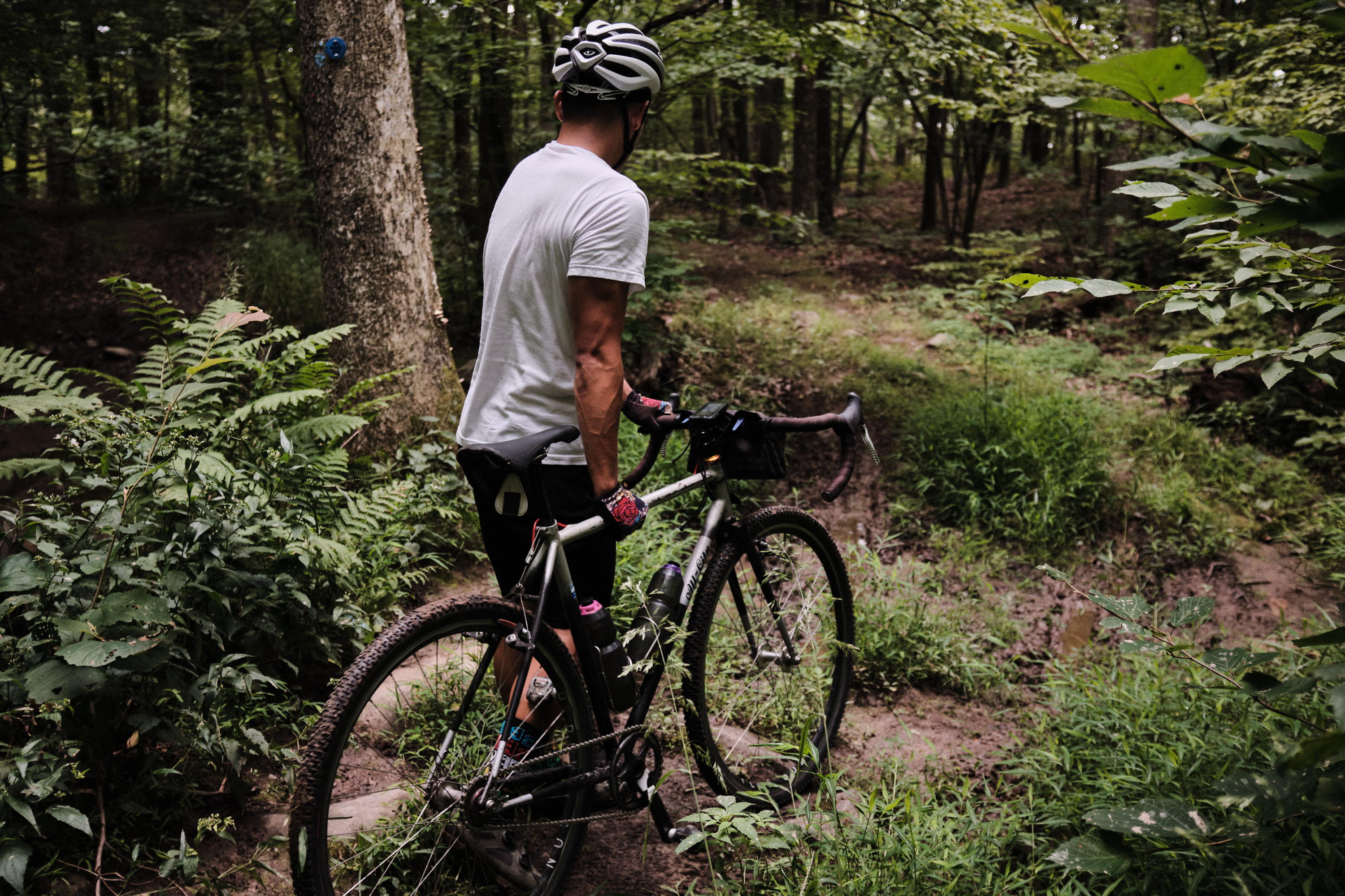


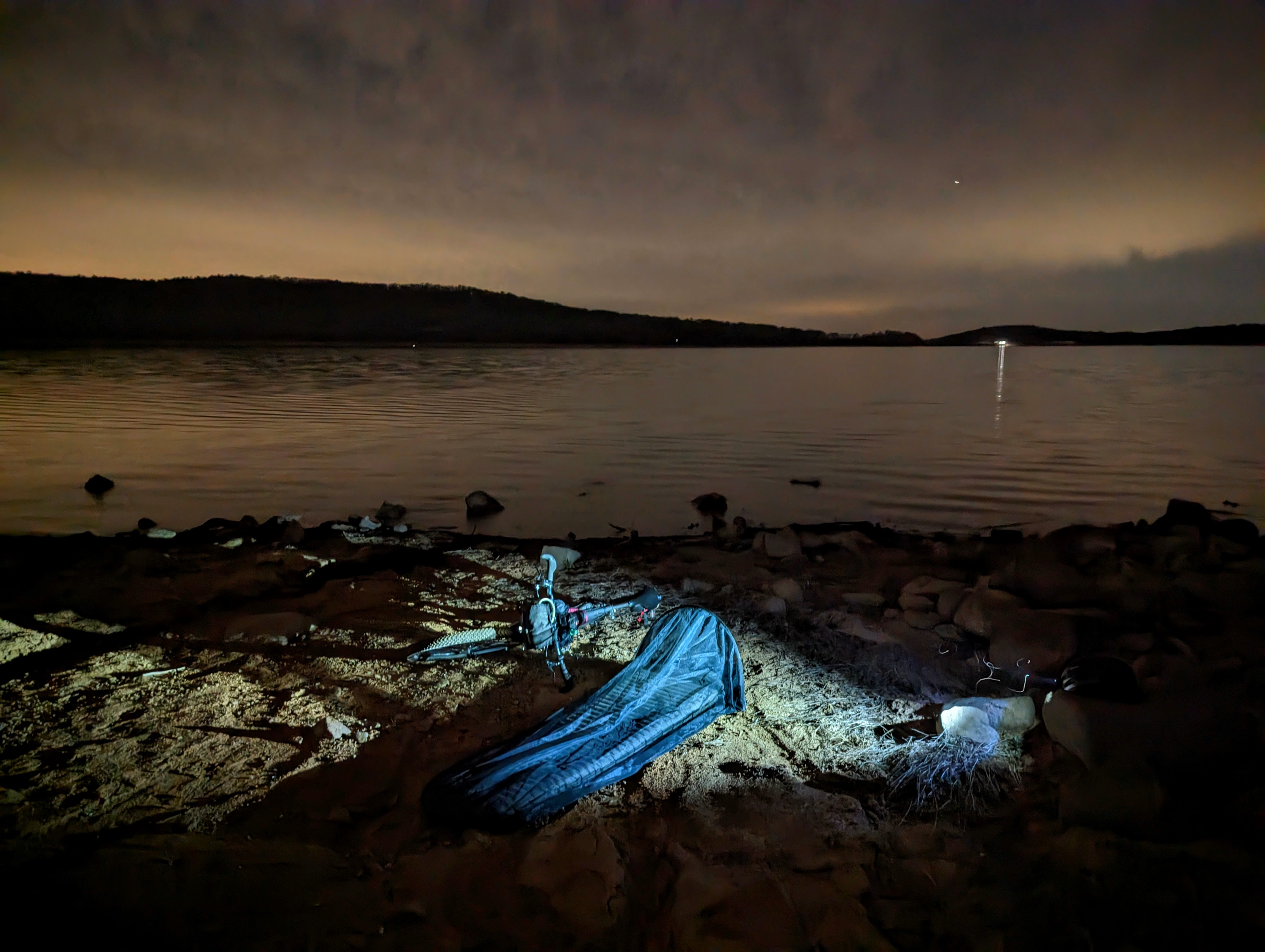
Scenes from the trail
Camping options
- Fahnestock
- Fahnestock (group camp, reservation req)
- Castle Rock Unique Area
Transit options
- Beacon
- Cold Spring
- Peekskill
Rotten Apple
︎ 33.5mi (53.9km)
︎ 3655’ (1114m)
︎ 3655’ (1114m)
︎ 65% unpaved
︎ 47% singletrack
︎ 47% singletrack
︎ 10/10 difficulty
Ives Trail, Tarrywile Park in Sept
Trail Systems
- Tarrywile
- Wooster
- Pine
- Hemlock Hills
- Liebowitz-Knapp
- Seth Low Pierrepont
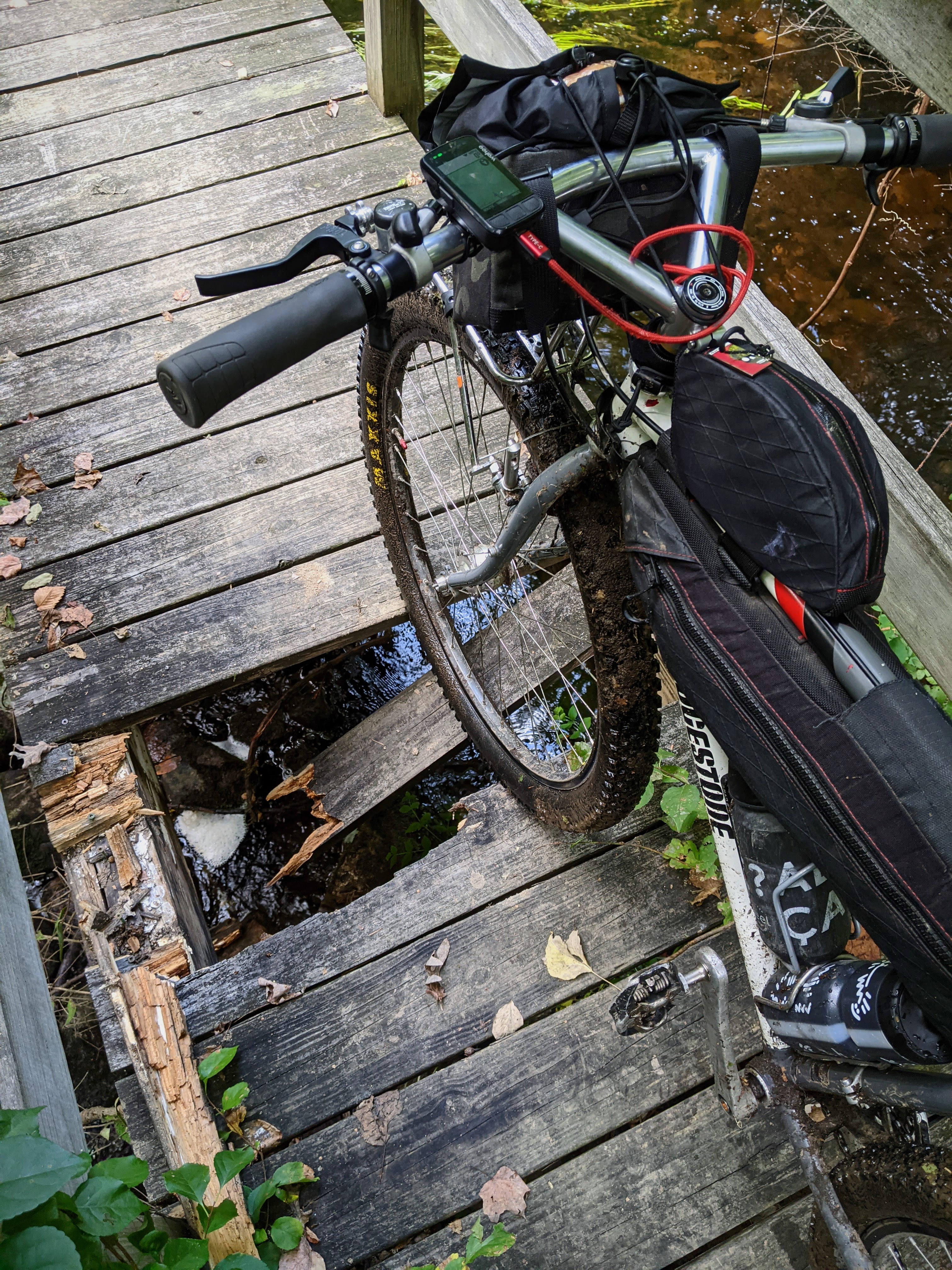
Not your standard Dirty Apple route. Expect a lot of tech on these backcountry trails through Wooster Mountain State Park and Pine Mountain as you loosely follow the Ives Trail. Most of the elevation gain is in the first half. This is the most tech-heavy section of SRHT and most riders will be more comfortable on a full-suspension rig. Expect to take 4-6hrs to clear 17mi. There are no water resupply options once on the trails so either bring enough water or a water filter. Once clearing the singletrack section, you’ll ride on quiet, country gravel roads that are familiar to riders that have taken the Metro North Harlem Line.
This route can be ridden in reverse but, keep in mind, the shuttle train passes through the town of Bethel or Danbury less frequently than the Harlem or Hudson line. If you find yourself exiting late on the reverse route and the trains are too infrequent, head towards the Brewster train station instead.
This route can be ridden in reverse but, keep in mind, the shuttle train passes through the town of Bethel or Danbury less frequently than the Harlem or Hudson line. If you find yourself exiting late on the reverse route and the trains are too infrequent, head towards the Brewster train station instead.
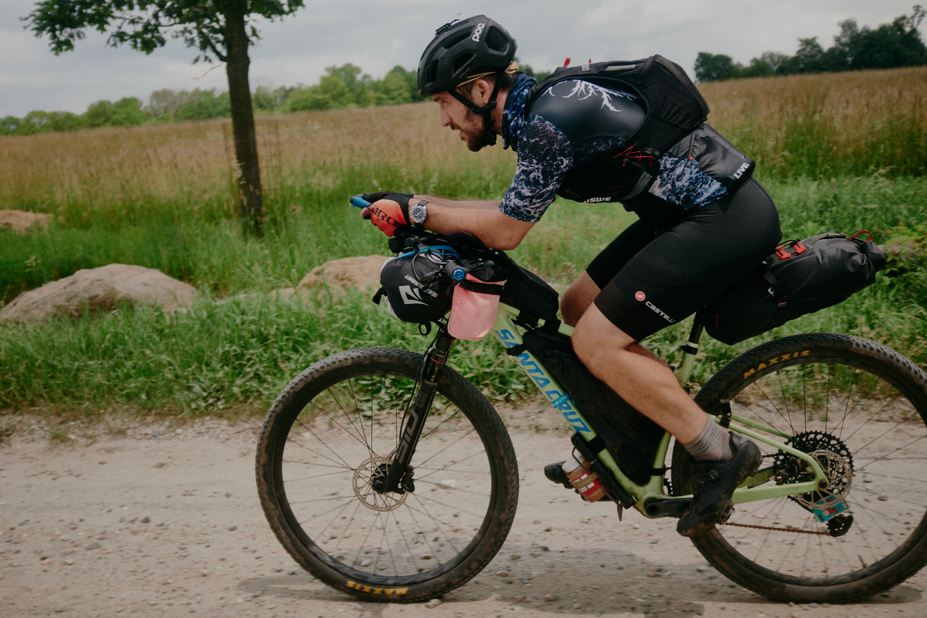
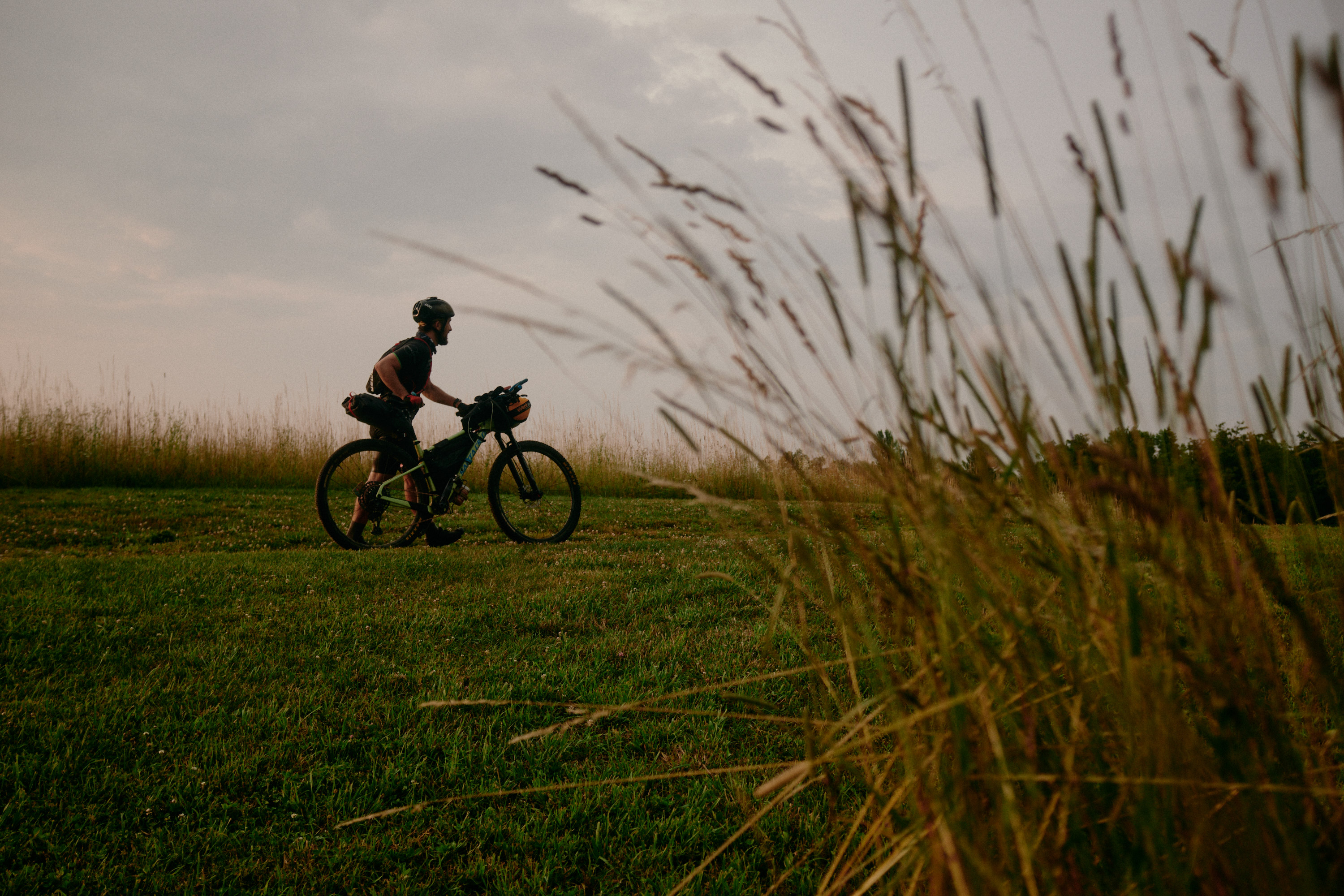
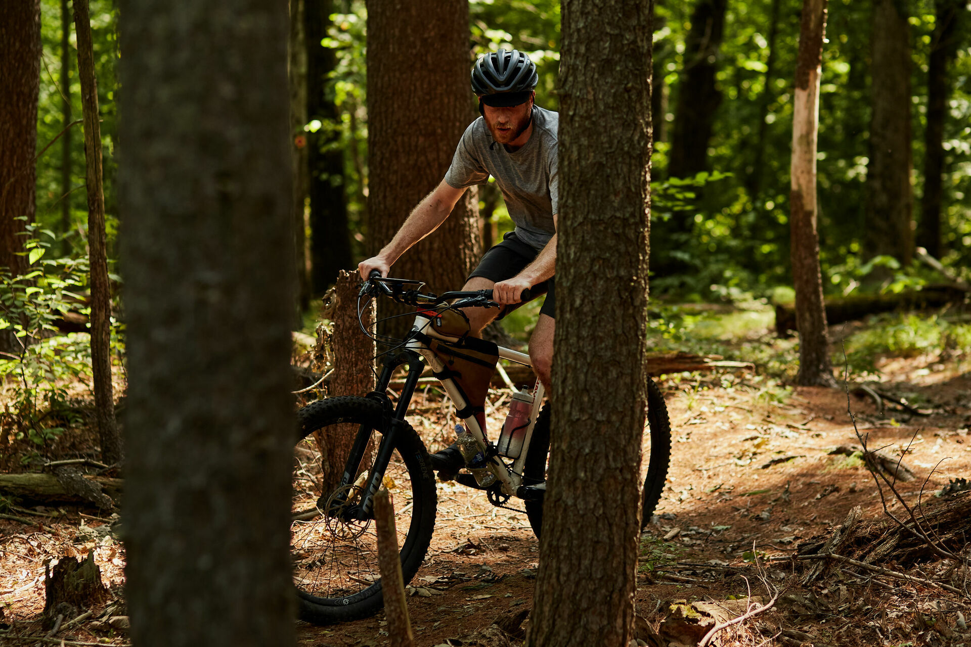
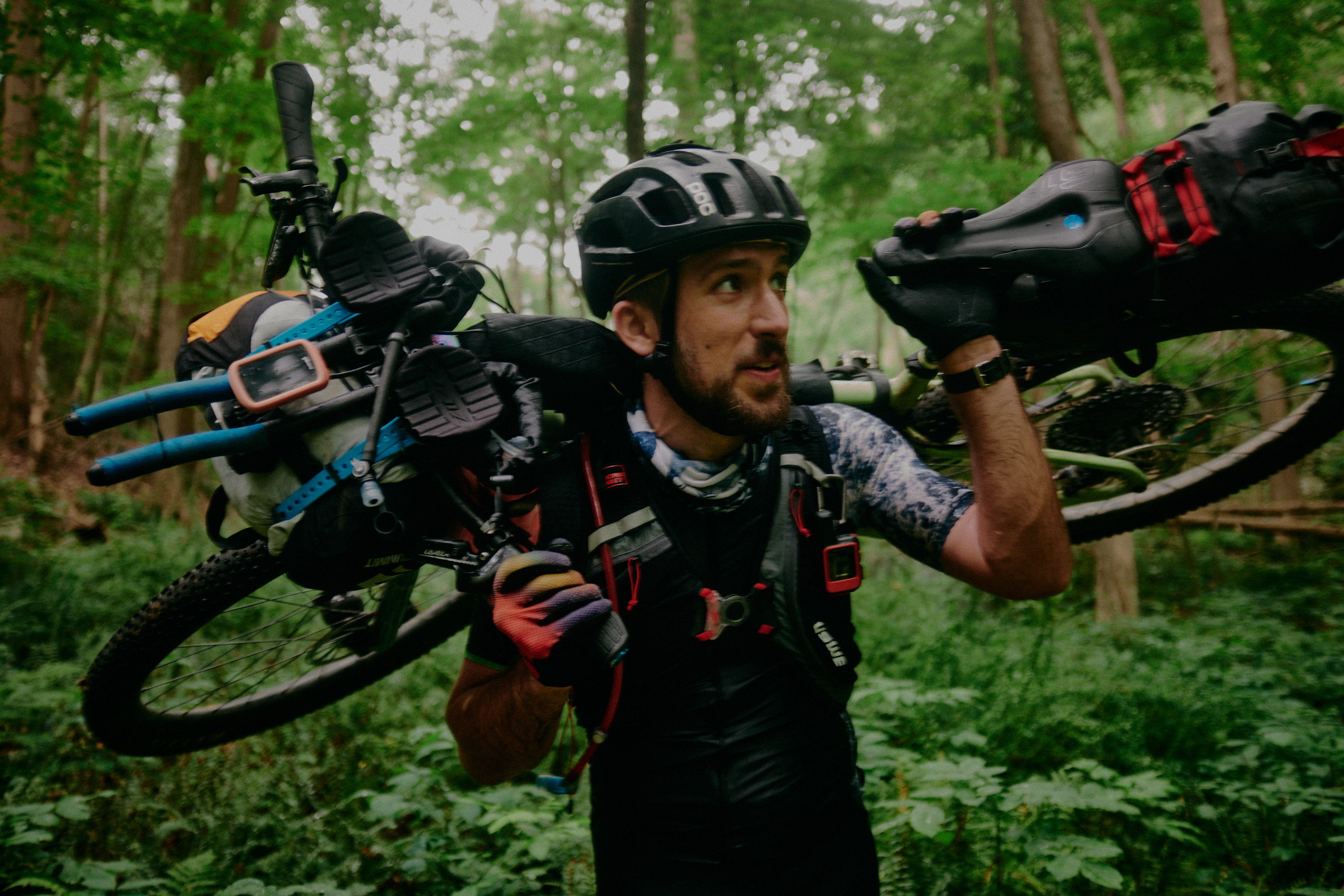

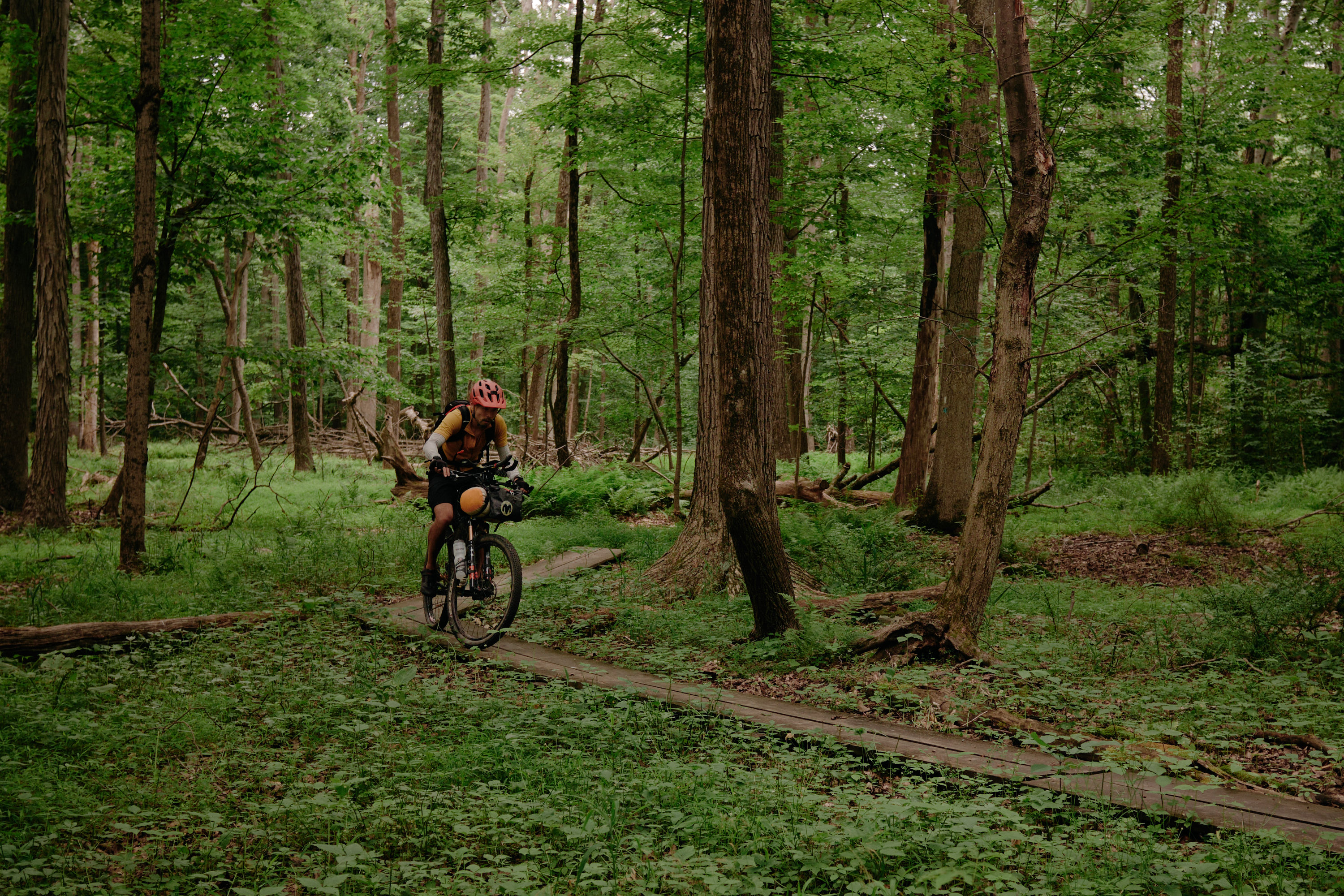
Scenes from the trail
Camping options
- Tarrywile Park (reservation req)
- Salt Hill State Forest
Transit options
- Bethel
- Danbury
- Ridgebury
- Katonah
- Golden’s Bridge
- Brewster
Round Up
︎ 108.1mi (174km)
︎ 10,116’ (3083m)
︎ 10,116’ (3083m)
︎65% unpaved
︎ 59% singletrack
︎ 59% singletrack
︎ 9/10 difficulty
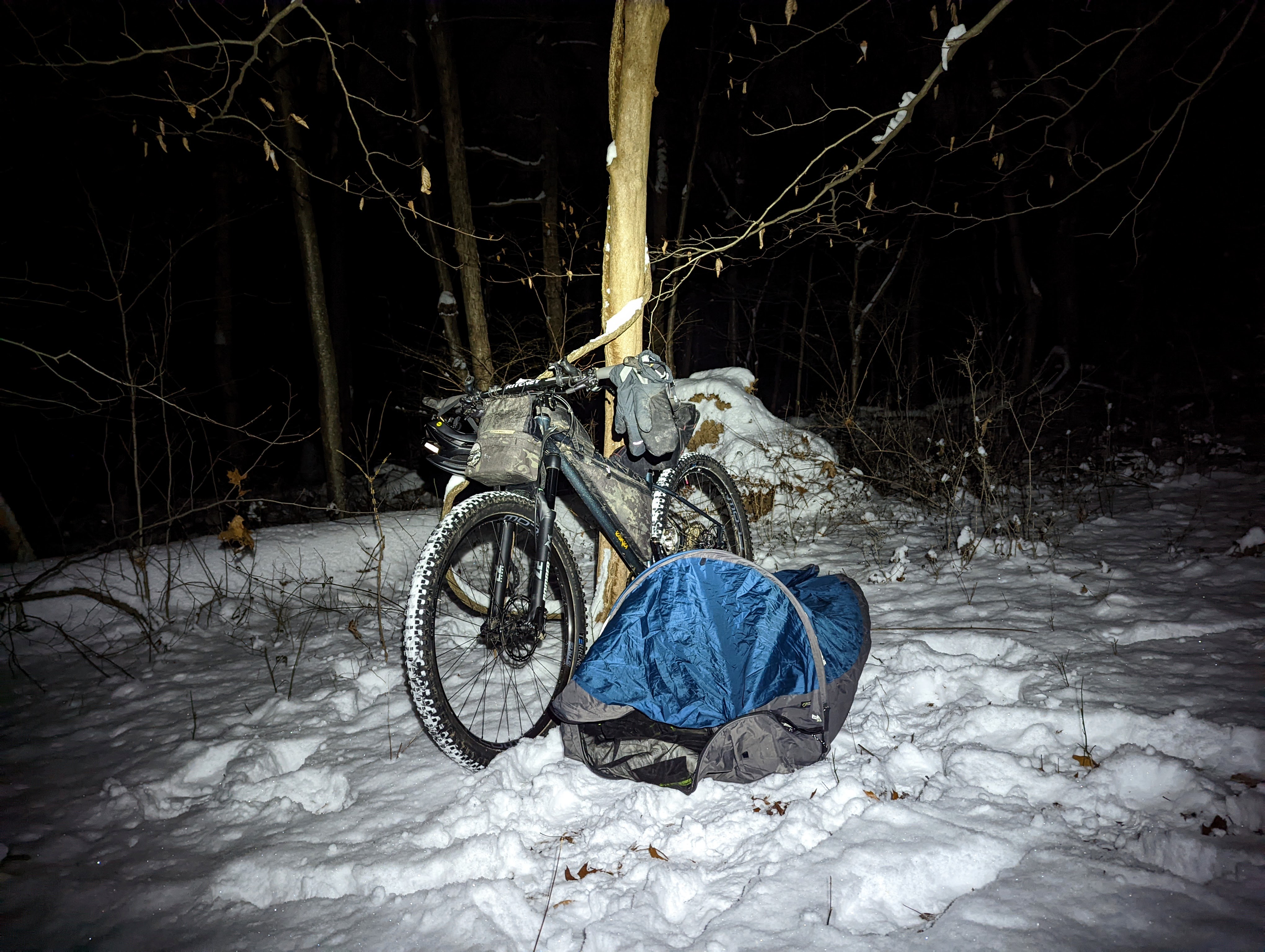
Tilcon Lake Trail, Stephens State Park in January
Trail Systems
- Round Valley
- Nassau/Springside
- Voorhees
- Columbia Rail Trail
- Patriot’s Path
- Stephens
- Allamuchy
- Tamarack
- Weldon Brook
- Dickerson Mine
- Mahlon Dickerson
- Rockaway
- Telemark
- Wildcat
- Jonathan’s Woods
Rewrite what you knew about New Jersey. This point-to-point bikepacking route is quite the treat (if you’re willing to start with an overnighter on a Friday night at a Round Valley campsite. My favorite site is #83W). Your first day could end at either the campground at Voorhees, Stephens State Parks or Mahlon Dickerson after a full day of mostly dirt. The jump track at High Bridge is a fun visit.
Most people would feel comfortable with suspension with knobby tires 2.2” or larger. Most of the trails are purpose-built for mountain bikes although sections like Patriot’s Path or the Highland Trail might require some hike-a-biking. Adjust your expectations and be prepared if you don’t meet hit your intended mileage - singletrack can eat up plenty of hours!
To reiterate, there are only 9mi of gravel. Most of this route is on technical singletrack. Review the route and know where water/food can be found - you may be hours away!


Scenes from the trail
Camping options
-
Round Lake Recreation Valley
- Voorhees State Park
- Stephen’s State Park
- Mahlon Dickerson
Transit options
- White House (wkday service only)
- Hackettstown (wkday service only)
- Denville
- Dover
Soft Rock Hard Times 400
︎ 379mi (609km)
︎ 34,078’ (10,386m)
︎ 34,078’ (10,386m)
︎ 53% unpaved
︎ 40% singletrack
︎ 40% singletrack
︎ 10/10 difficulty


Who knows where
Trail Systems
- All of them
The whole enchilada. From White House, NJ to New Haven, CT. More than 200 miles of dirt and 157 miles of it is on rough, technical singletrack. Don’t expect flat rail trails. Most riders will be comfortable with at least a hardtail although a full suspension XC bike might be the best choice. Who knows! This is the Northeast.. More details found below.
Note: RWGPS elevation gain estimate is off. Expect there to be 6000-7000’ unaccounted for.
Want to help, contribute, make suggestions, or sponsor? Say hello!
Note: RWGPS elevation gain estimate is off. Expect there to be 6000-7000’ unaccounted for.
Want to help, contribute, make suggestions, or sponsor? Say hello!
Camping
Most of the legal campsites are marked on the map. It is up to the rider’s discretion if they choose alternative campsites. Respect Leave No Trace principles and do not camp on trails. Do your research if you’d prefer more formal, indoor accommodations - not every motel may allow bikes. Some campgrounds require check-in before a certain time. Call ahead to confirm. Do not make fires unless you’re somewhere where it’s allowed.
In the spirit of self-supported bikepack racing, you are responsible for yourself. Be a good steward of the land and practice leave no trace principles. Set up camp on flat, durable surfaces, away from trails, waterways, and roads. Respect private property. We’re not riding through a national forest where primitive, at-large camping is available everywhere. Stealth camping is at the rider’s discretion. As remote as things may feel at times, consult the map for places that are sensible for camping - you might be closer to town than you think. If deviating from the route, in order to have a recorded finish, be sure to return to the spot you left. The route has places of interest marked on the map but there will be plenty of other options available.
Route
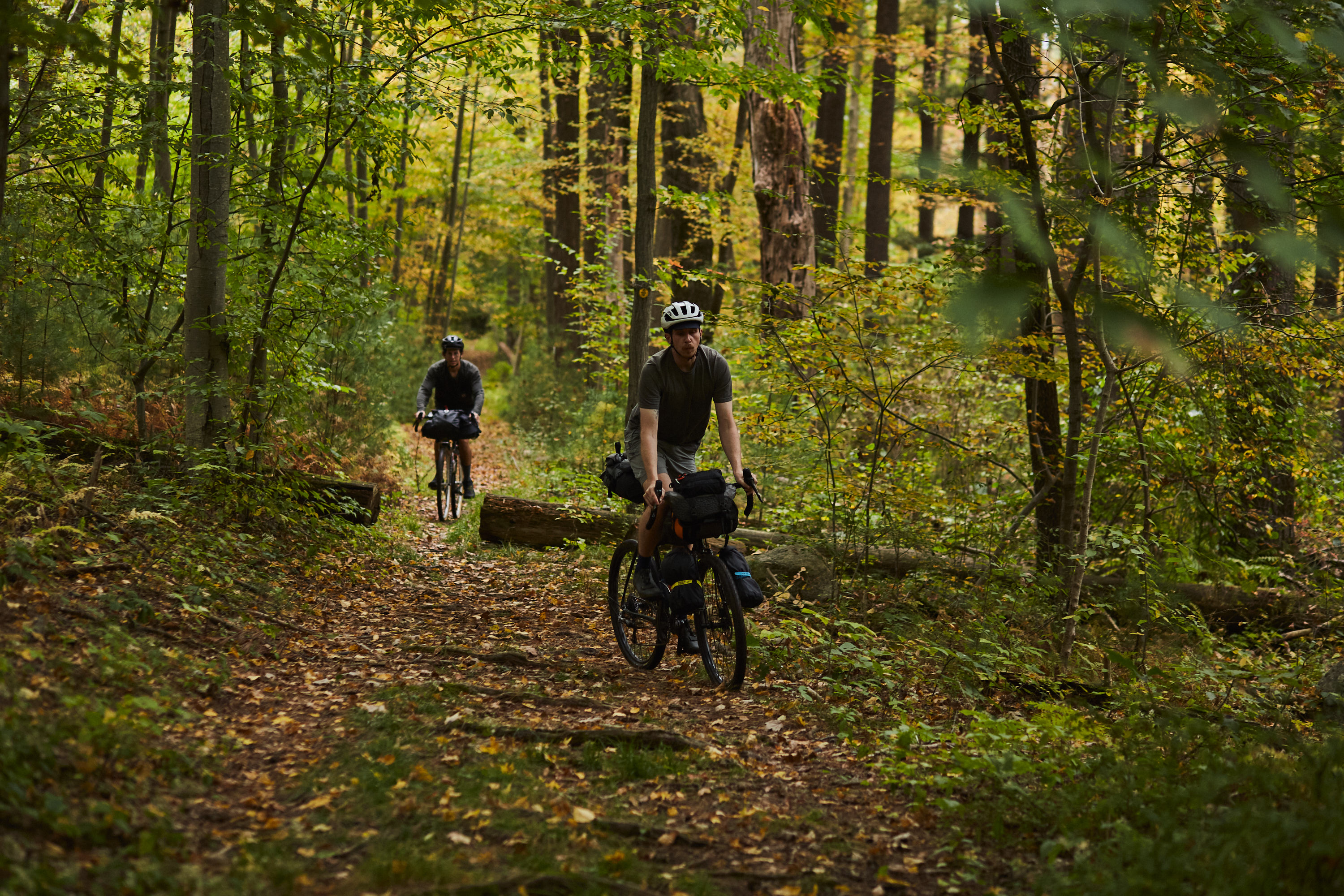
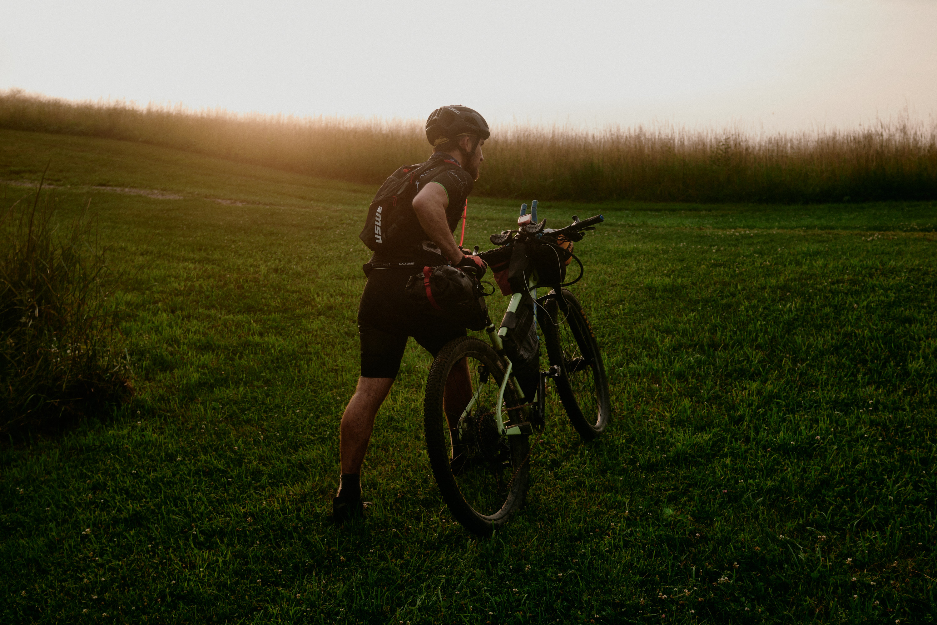
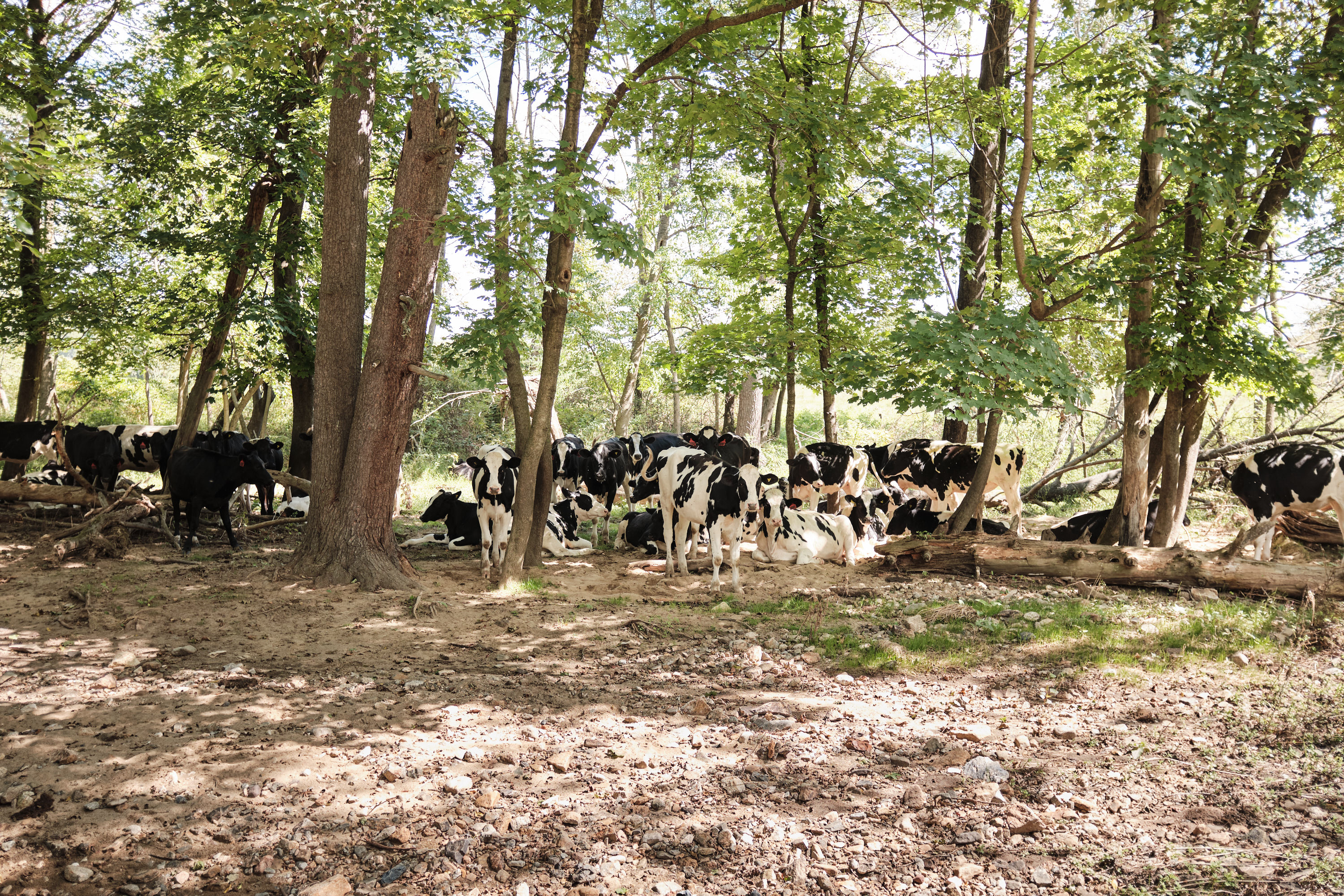
You’ll spend most of your time in the forest. The route mostly avoids busy highway sections unless necessary. If so, it will be brief.
At times, the route may wander a bit away from what the GPX shows on your bike computer. Trails change over time and mapping software don’t always immediately update to match what’s on the ground. Refer to the blazes or what is most sensible as a path and be sure to download the most updated GPX. There are more than 30 different park management systems that you’ll pass through. There have been multiple scouting trips to confirm everything but, if access has changed for any trail system, please let me know.
Borrowing from the folks at Vermont Bikepackers: “If you run into conflict with a trail user or a landowner, please remember that it's more important to be respectful than to be right. You are representing bikepackers everywhere.“
Respect local signage and take the suggested detour if a trail system is closed. Riding on muddy trails may harm the efforts of trailbuilders.
Review Round Up, West Of The 87, Cold Spring Clover, and Rotten Apple for more photos/details.
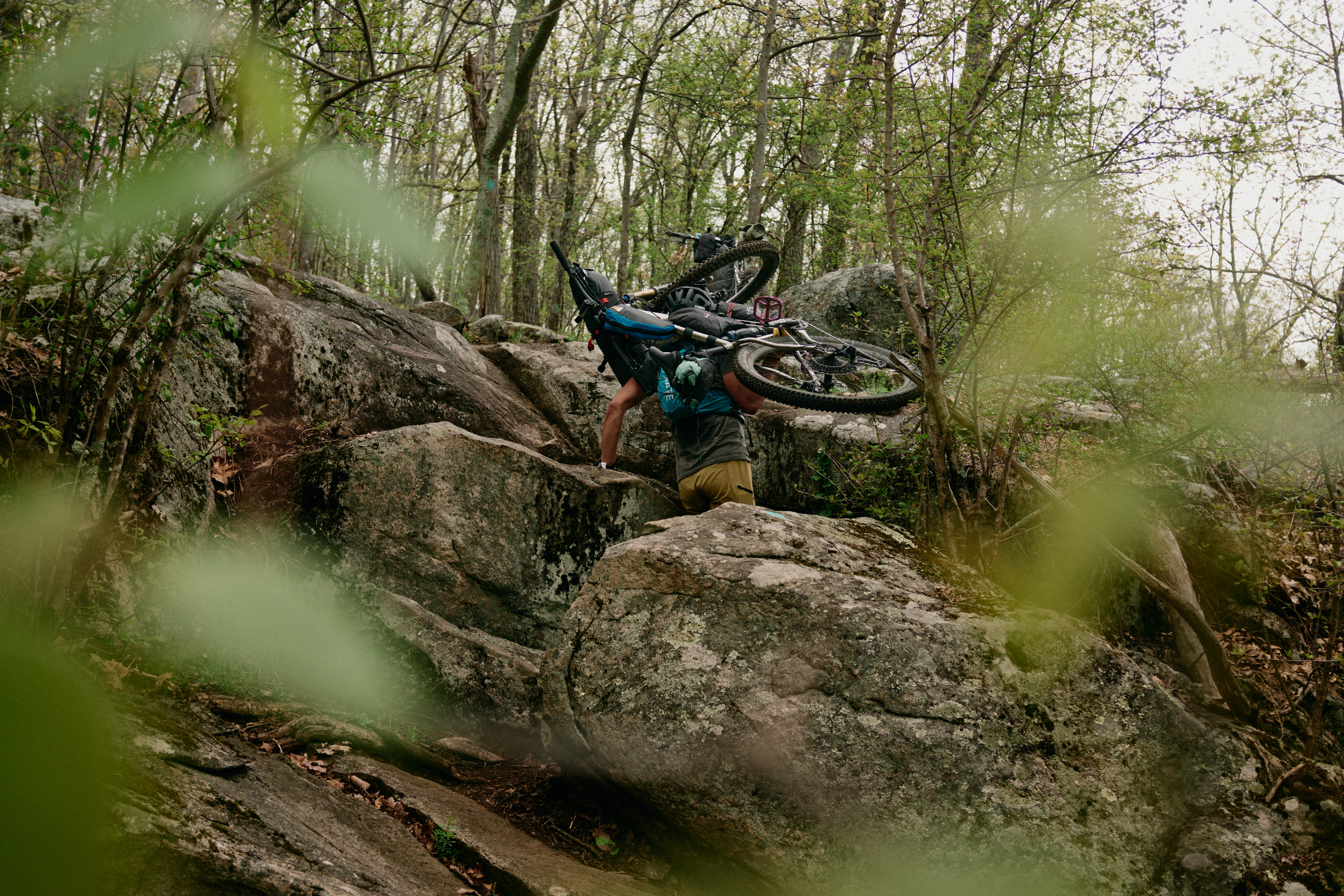
Terrain
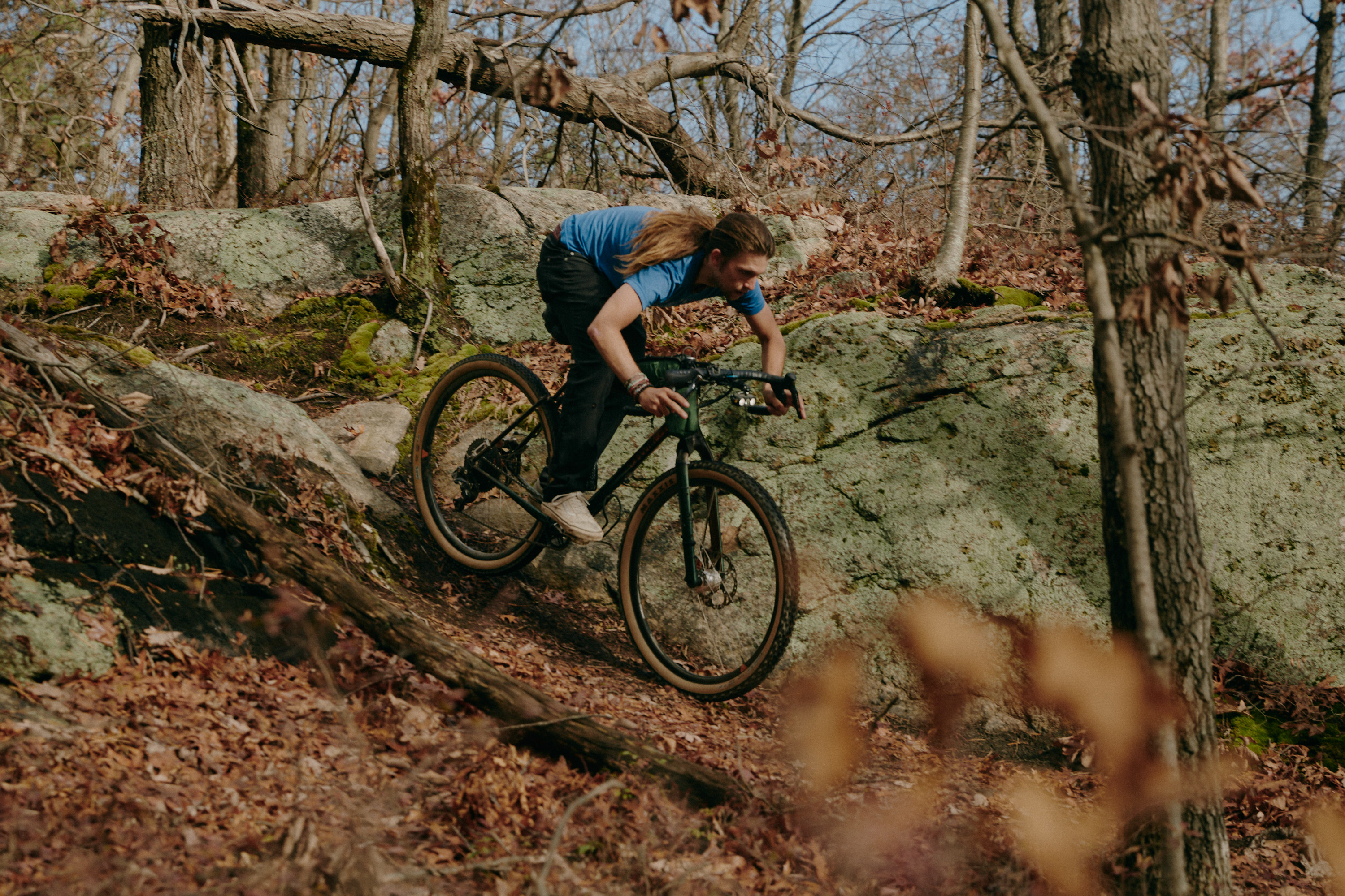
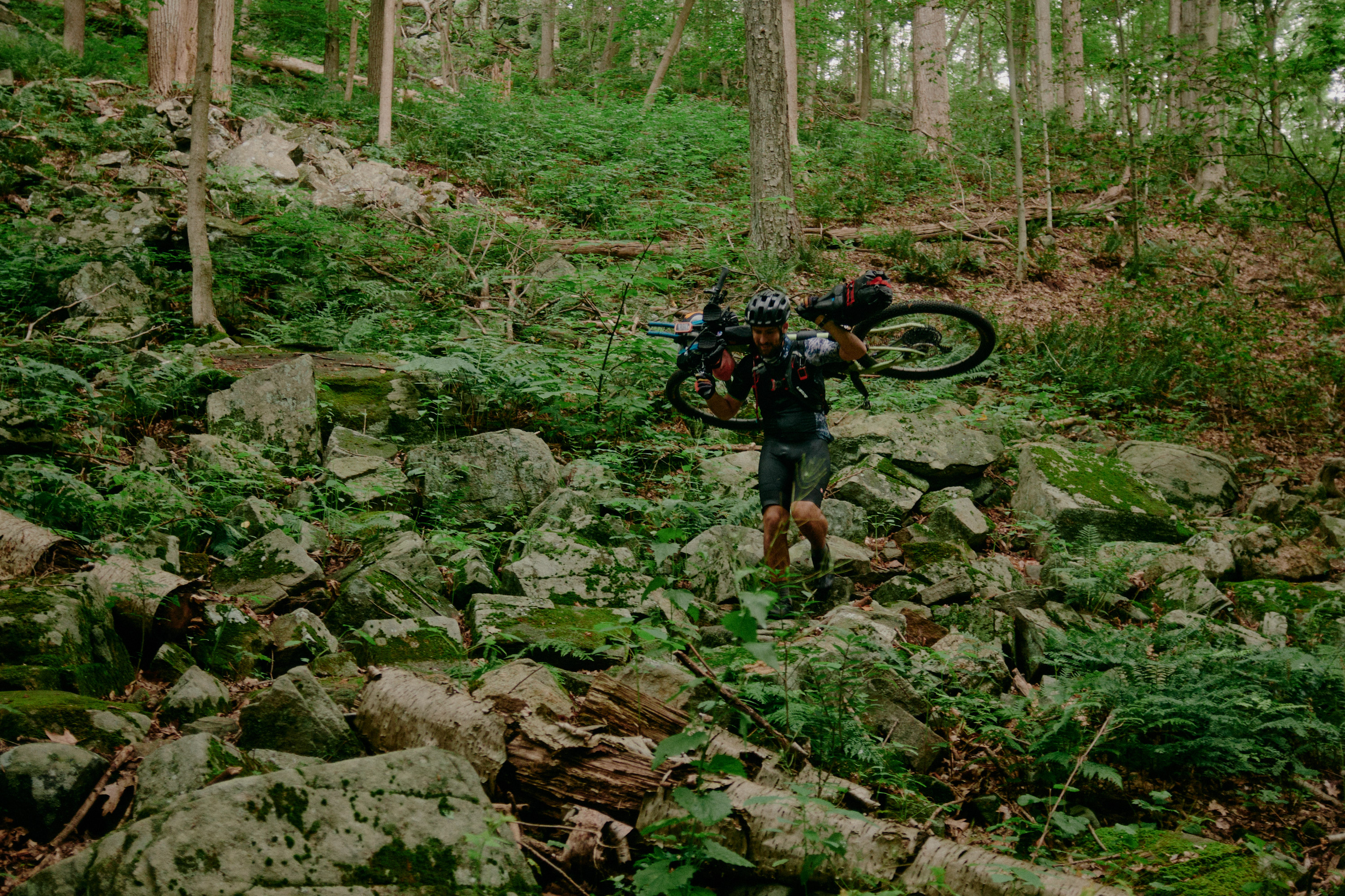
Rock gardens. Roots. Plenty of tech. Rollers. At times, mild exposure. There will be a mix of purpose-built singletrack and multi-use backcountry trails. Almost all of the route is rideable although it may be preferable to hike some sections in order to conserve energy. The most notable hike-a-bike is a 0.75 mi section after Waterloo (mile 54). The most technical section is 17 miles long in Ridgebury (starting at mile 303).
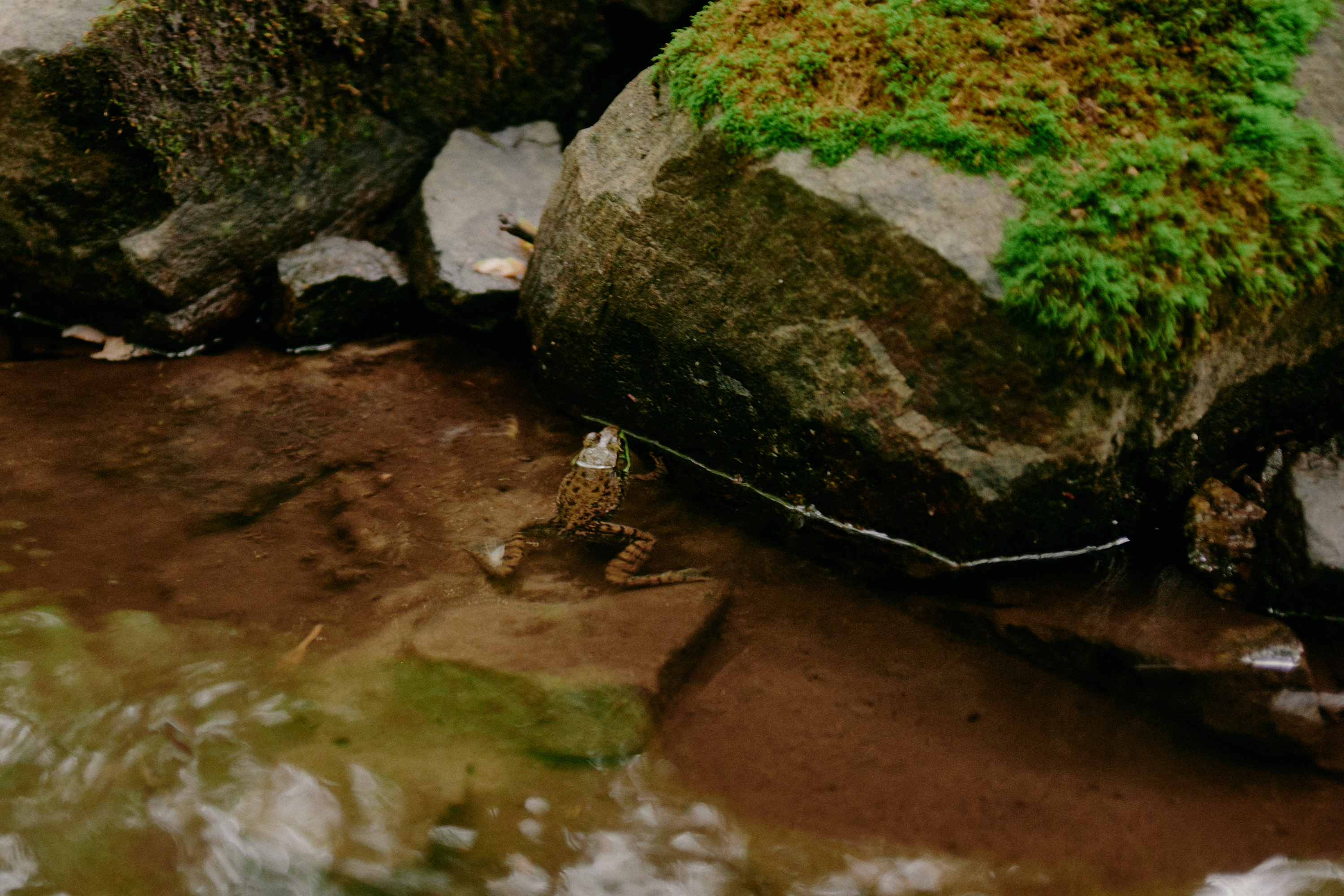
In the throes of summer, thorny wineberry bushes might creep their way into the trail. In late fall, dense leaf coverage may make it difficult to sight clean lines over rock gardens. There might be blowdowns on some of the less maintained park systems. Springtime, you might see the occasional box turtle trying to cross the trail.
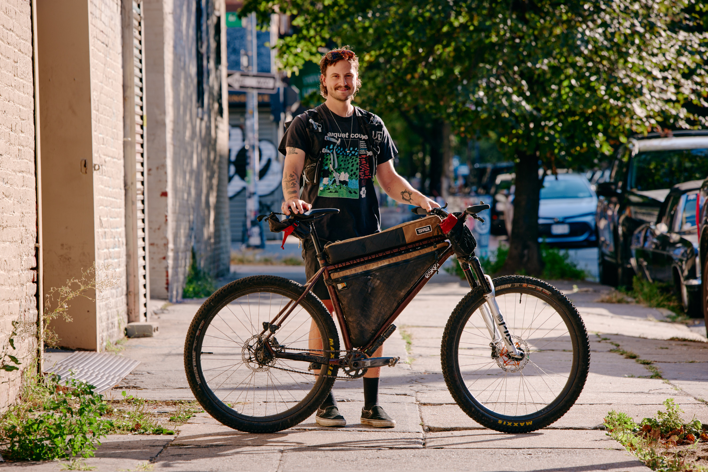
Suggested Bike
There are so many options out there. Generally, people would be comfortable on a modern mountain bike with tires that are larger than 2.2”, most likely with at least 120mm front suspension and a 28-32t front chain ring. With the amount of technical riding, many would prefer full suspension and hydraulic brakes to avoid hand fatigue. A dropper would be more confidence inspiring on descents. Aerobars are not really necessary although many might want a position where they can lean onto their forearms and relax their hands.
Don’t be fooled by the goofballs on rigid gravel bikes in the photos from early scouting trips! This is a mountain bike routes on mostly blue level trails! There will be sections that you’ll need to carry your bike!
Resupply
Review the map and know what’s available and what store operating hours are. You’re never too far from civilization but there may be sections where you won’t leave singletrack for hours. Some water sources are shut off in the winter. A filter might be a good idea. I’ve noted a few things along the route but there are many more options.
Parking
This route was initially made with the intention that public transportation is used to connect trail systems. For those driving from out of state, NYC might just be the best place to park your vehicle for the duration of your ride. Find something in Brooklyn or Queens without alternate-side parking enforcement and then ride to a train station. Contact me for suggestions.
Outside of the city, Secaucus station is the most sensible place to park your car. Another option could be to leave your car in New Haven, take the 2 hr train to Grand Central, transfer to Penn Station, and then take the train another 2 hours to White House Station, keeping in mind that the Raritan Valley line only runs weekdays/weeknights.
Singlespeed
Probably something lower than a 2:1 ratio. I ride 32x22t on 29x2.6” tires but do a fair amount of hiking.
Safety
If riding after Oct 1, please make sure to wear bright colors. Stay updated on hunting seasons in NJ, NY, and CT.
Bears have been sighted on the route in the past. Be bear-aware!
If riding in the summer months, prevent the spread of Lyme disease and check for ticks.


Scenes from the trail
Camping options
- Round Lake Recreation Valley
- Voorhees State Park
- Stephen’s State Park
- Mahlon Dickerson
- Harriman - Beaver Pond
- California Hill
- Clarence Fahnestock
- Salt Hill
- Tarrywile
Transit options
- White House
-
Highbridge
-
Hackettstown
-
Dover
-
Glen Rock
-
Suffern
-
Beacon
-
Cold Spring
-
Garrison
-
Peekskill
-
Katonah
-
Goldens Bridge
-
Bethel
-
New Haven